Start on the grass at Aquatic Park near Fisherman’s Wharf. Head inland to climb Russian Hill, follow the shoreline west to the Golden Gate Bridge, or scout a route from the piers to Alcatraz. This 36.04 km² San Francisco Minecraft map covers the northern waterfront, the hills behind it, and both ends of the bridge. The downloads come in Java and Bedrock editions. You can also open the Java world in the browser.
Illustrations. Generated worlds follow OpenStreetMap data and differ in detail.
Starting area
San Francisco’s northern waterfront and the Golden Gate
Size
36.0 km²
Editions
Java & Bedrock
Download
Ready to play
Data
OpenStreetMap
01 / Overview
From the Golden Gate to the piers and the hills
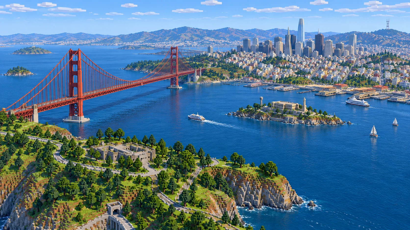
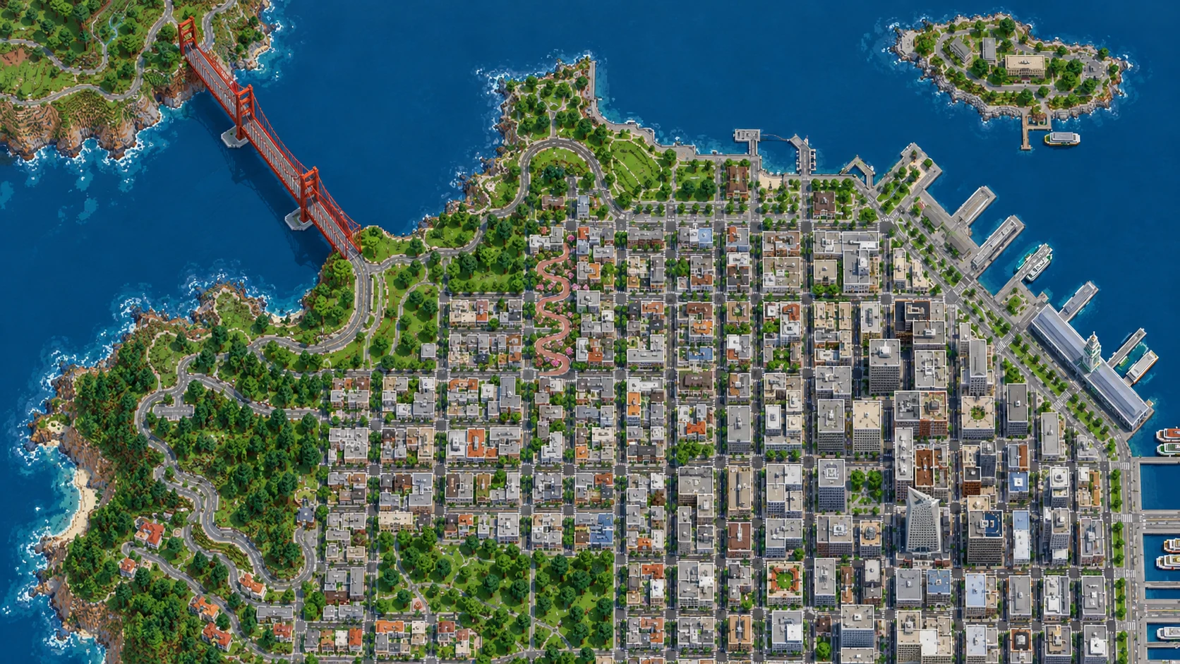
The rectangle is roughly 7.2 km wide and 5.0 km from north to south. At the western edge, the Golden Gate Bridge runs north from the Presidio to Marin. Alcatraz sits in the northeastern part of the map, across the bay from the piers. The city fills the lower half: Crissy Field and the Marina waterfront on the west side, Russian Hill behind Aquatic Park, and North Beach, Telegraph Hill and Chinatown toward the east. The Ferry Building and the Bay Bridge lie east of the map.
Begin by getting your bearings on the waterfront. From Aquatic Park, go east for the wharves and piers, or west past Fort Mason to the Marina and Crissy Field. The low waterfront route gives you a break from the climb up Hyde Street. Around the steep part of Lombard, stay on the side streets if you want to see how the regular blocks meet the winding road. Farther east, the grid climbs again toward Coit Tower.
Take one flight over the city before deciding where to build. From a little above the shore you can pick out the bridge alignment, the thin ends of the piers and the island. Farther inland, building footprints and streets are still useful even if you keep your view distance low. A straight street across a hill can mean a long staircase in Minecraft. Look for a less steep approach before laying rail or paving a route you plan to use regularly.
Illustrations. Generated worlds follow OpenStreetMap data and differ in detail.
02 / Inside the map
What's included in the San Francisco map
The recommended starting area covers Golden Gate Bridge, Fort Point, the south bridge plaza, the Marin approach and Vista Point, the Presidio waterfront, Crissy Field, Palace of Fine Arts, the Marina, Fort Mason, Aquatic Park, Ghirardelli Square, Hyde Street Pier, Fisherman’s Wharf, Pier 39, Pier 33, Lombard Street, Russian Hill, North Beach, Washington Square, Telegraph Hill, Coit Tower, Chinatown, Portsmouth Square and Alcatraz Island. Places marked as separate presets are outside it. Open them from the customize section below.
Starting area
Golden Gate Bridge and the Marin approach
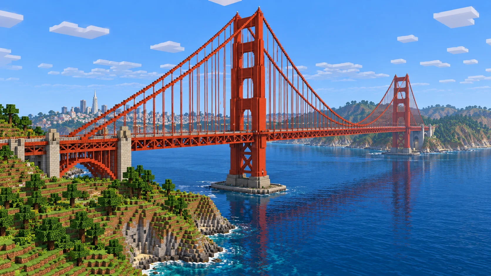
The Golden Gate Bridge opened in 1937. The main span runs 4,200 feet (1,280 m) between the two towers. The world includes the two ends of the crossing, the Presidio side and the Marin approach near Vista Point. The Java world has both tower frames and a roadway near Y 106 in the middle of the span. Parts of the deck already have chain lines. Use the existing crossing to lay out a continuous set of main cables.
Starting area
Crissy Field, Fort Point and the Palace of Fine Arts
Below the bridge’s southern end is Fort Point. From there the waterfront route runs east by West Bluff and Crissy Field. The open ground at Crissy Field used to be an airfield, and its shape leaves room for a long path along the shore. The Palace of Fine Arts is at the western edge of the Marina, inland from the eastern end of Crissy Field. The rotunda was designed for the 1915 exposition. Mark the edge of its lagoon and use the space behind it to lay out the curved colonnade.
Starting area
Aquatic Park and Fisherman’s Wharf
Aquatic Park has a small beach, a curved cove and a long, curved breakwater called Aquatic Park Pier, or Muni Pier. Hyde Street Pier is on the east side, where Hyde meets Jefferson Street. Keep going east on Jefferson for Fisherman’s Wharf and follow the waterfront toward Pier 39. Each pier projects from a different point on the shoreline. That makes it possible to use the pier ends as boat markers without filling the waterfront with signs.
Starting area
Lombard Street and Russian Hill
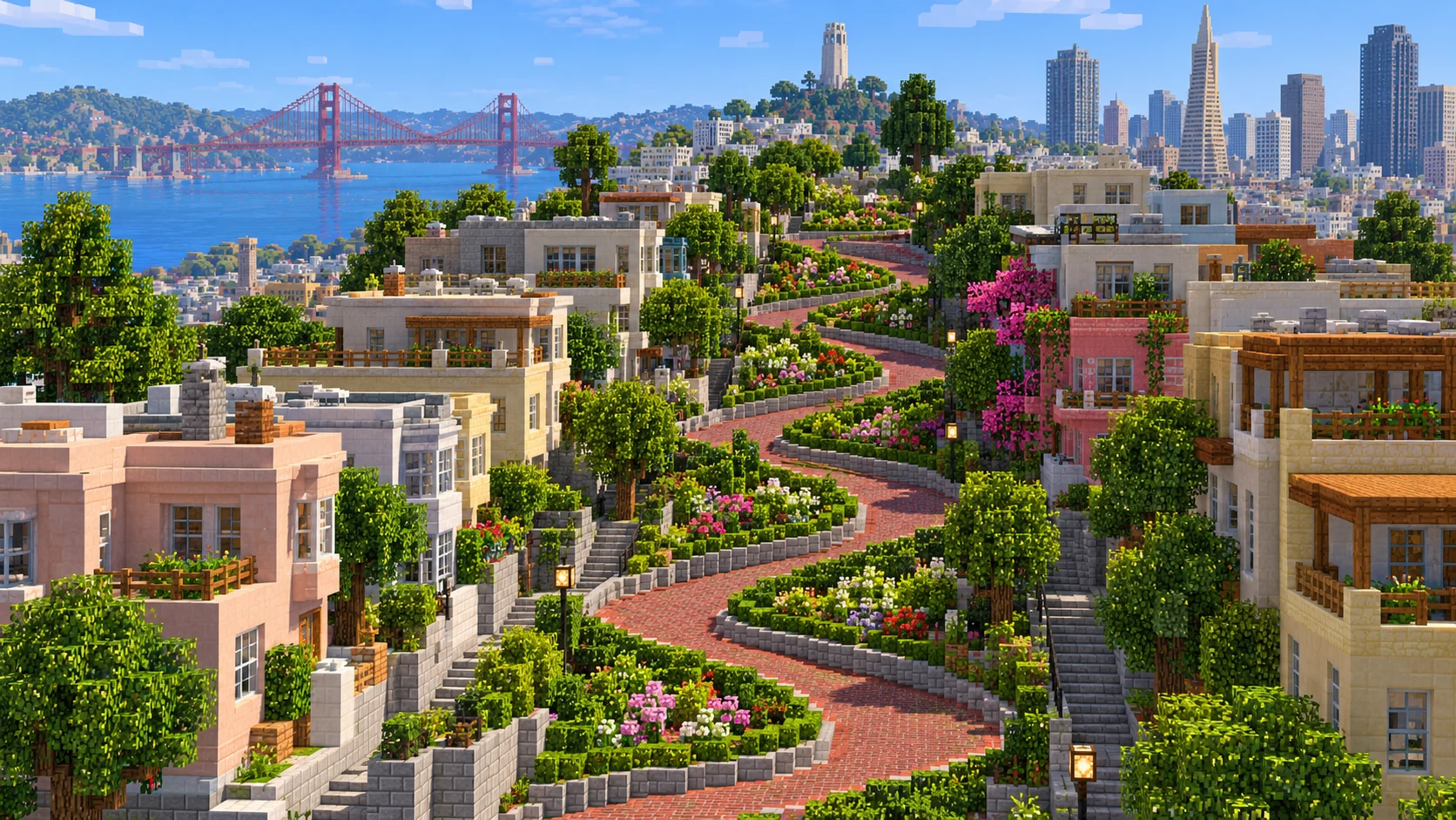
The winding block of Lombard Street lies east of Hyde Street and drops toward Leavenworth Street. The eight hairpin turns fit into one city block. In the Java sample, the red brick road already follows the bends and drops roughly 31 blocks between the two intersections. Add beds for the hydrangeas that line the real turns, or build a stair route alongside the road.
Starting area
Washington Square and Coit Tower
Washington Square gives you a flat reference point in North Beach. Telegraph Hill rises east of it, with Coit Tower at the summit. The real tower was completed in 1933. In the Java world it is a pale stone silhouette with a flat roof near Y 194. Leave a landing where the path reaches the tower and keep the slope visible from below. If you build into the hill, use the Filbert Street Steps on the east side as a reference for a narrow route toward the waterfront.
Starting area
Chinatown and Portsmouth Square
From North Beach, go south toward Grant Avenue and Stockton Street. Portsmouth Square is a useful checkpoint where the streets have more room around them. The neighborhood works on a smaller scale than a bridge build: make one shopfront at a time, put steps at the entrances where the ground rises and test that the upper windows still line up from a point down the block.
Starting area
Alcatraz Island
Alcatraz comes with the main download. Its mapped shore lies across open water from the northern piers, with the dock on the island’s east side and the main buildings up the slope. In Java, the main prison is a flat gray volume near Y 97 and the lighthouse reaches Y 118. For a small adventure map, divide the island route into the shoreline, a climb and an overlook. Keep any interior rooms you build as a later pass once the footpaths and exterior locations work.
Illustrations. Generated worlds follow OpenStreetMap data and differ in detail.
03 / Why this city
How the street grid meets the bay
On the north side of San Francisco the street grid climbs away from the water in several directions. The land behind the Marina sits low before it begins to rise, while the area around Russian Hill and Telegraph Hill changes height over a short distance. From a boat these differences show up in the skyline. On foot they decide where you can lay a road without a retaining wall, how many steps a block needs and where an overlook will clear the nearby roofs.
The generator uses OpenStreetMap outlines, available building heights and elevation data. Its shapes show where the routes, piers and buildings belong, and the gallery shows the level of detail you could add. Use the existing layout to plan cables and bracing, detailed shop facades or a better-looking cable car. Cars, ferries and public transport schedules are outside the generated world.
04 / Play
Best ways to play the San Francisco map
Challenge 01
Lay out a Powell–Hyde cable car run
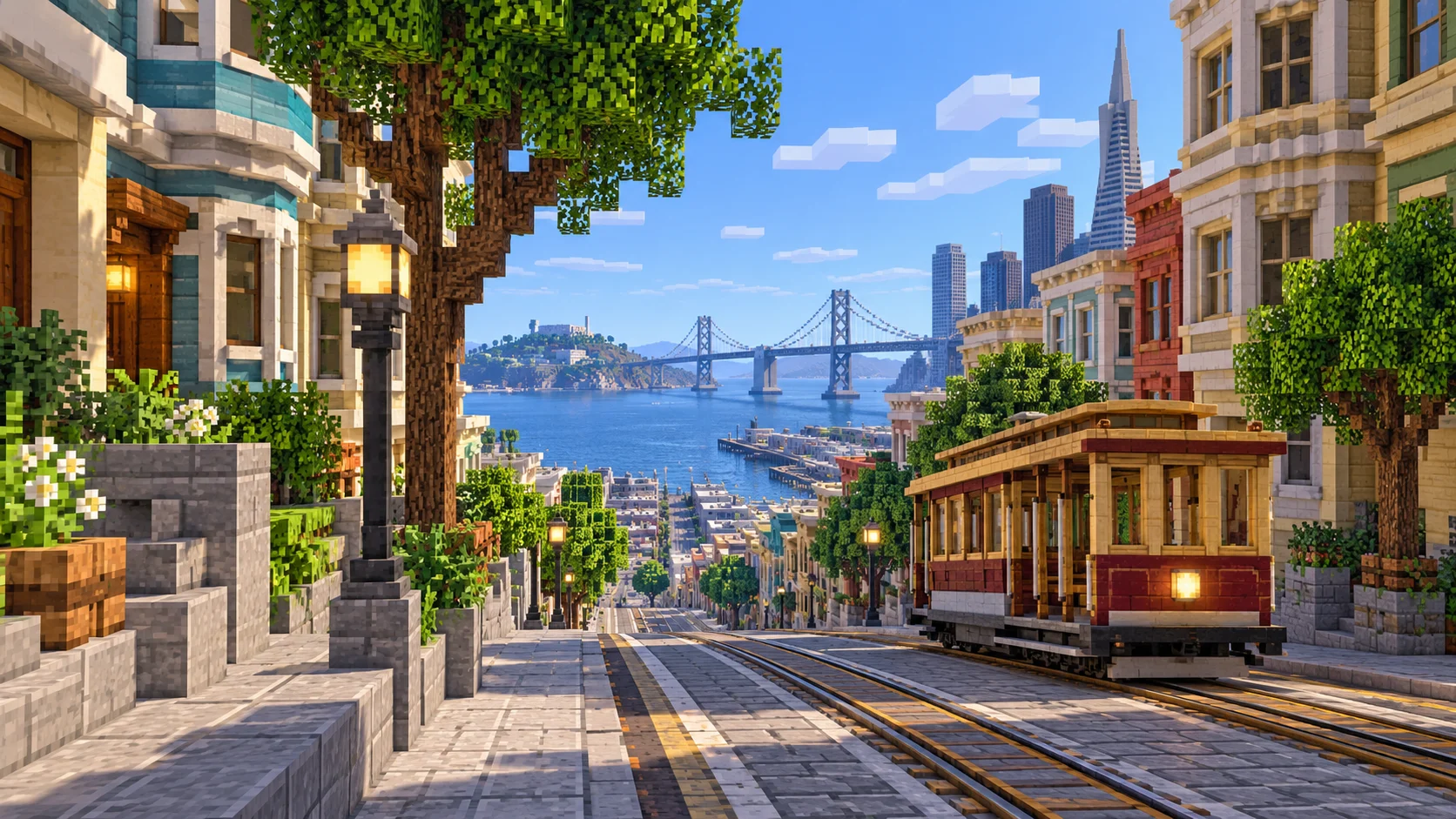
Start by the cable car turnaround at Hyde and Beach. Mark a rail line south up Hyde Street to the top of the winding section of Lombard. The real Powell–Hyde route joins this part of the waterfront to the hills. Build a separate place to step off near Lombard before you continue up the slope. On steep sections, test short runs of powered rails and check that a cart does not roll back through your station.
Challenge 02
Rework the Golden Gate towers and cables
Start on the existing gray roadway and find the two iron tower frames. Use orange terracotta to approximate the bridge’s International Orange paint. In the main span, start with the curve between the towers and place vertical hangers down to the deck. Make a few test sections at the center before committing to the entire run. View the result from near Fort Point and then from the Marin end to check whether the line appears smooth at both distances.
Challenge 03
Plan the ferry route from Pier 33 to Alcatraz
Follow the mapped ferry line from Pier 33 to the east side of Alcatraz, about 2,765 blocks in Java. Check the water from above before launching a boat. Its surface changes height across the bay, so you may want a short connecting canal or separate boat segments. Mark the island landing at water level, then lay a path up to the main buildings.
Challenge 04
Finish one block of Lombard Street
Walk from Hyde down to Leavenworth and place markers at the outside of the turns. Keep the street wide enough to walk around the corners and put flowers or low hedges in the gaps. Add a parallel stair route along the side for players who want to reach the bottom without following every bend.
05 / Download
Download and install
Download the San Francisco’s northern waterfront and the Golden Gate starting area as a ready-made world for Java or Bedrock Edition.
Java Edition
UnzipExtract the ZIP to get a folder with level.dat inside.
CopyMove the folder into .minecraft/saves.
PlayOpen Minecraft Java Edition and choose Singleplayer.
Bedrock Edition
OpenOn Windows, double-click the .mcworld file. On phones and tablets, open it with Minecraft.
ImportMinecraft imports the world automatically.
PlayFind the new world in your Worlds list and open it.
If the world does not show up
Java: check that level.dat sits directly inside the world folder, not one folder deeper.
Bedrock: if double-clicking does nothing, open Minecraft first and then open the .mcworld file again.
Open the world with the listed Minecraft version or a newer one.
Lower your render distance if a large city loads slowly at first.
The main rectangle runs between 37.790° and 37.835° N and between 122.484° and 122.402° W. It covers 36.04 km², at roughly one block per meter horizontally. The two worlds share an Aquatic Park spawn at (5438, 64, 3152). The Java map spans 7,203 × 5,003 blocks.
Mapped buildings use the available heights or floor counts from OpenStreetMap and use a default height when those fields are missing. Terrain comes from elevation data.
The sample includes the north waterfront, the full Golden Gate crossing and the island of Alcatraz. The Golden Gate Park and Mission District presets give those areas their own rectangles.
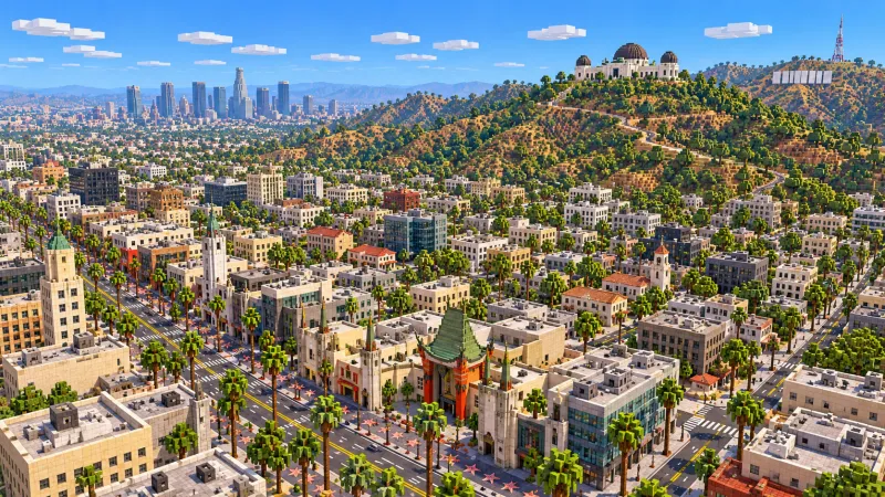
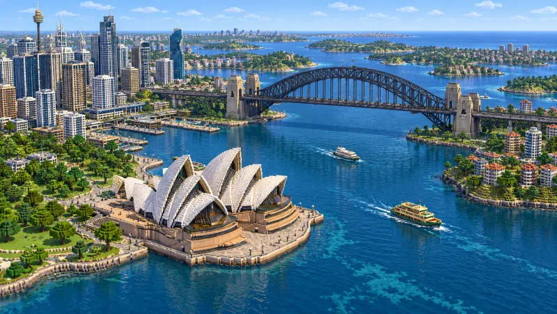
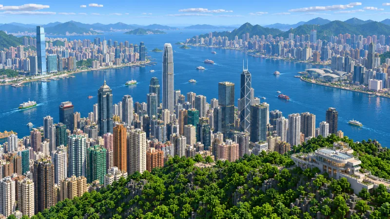
The gallery uses illustrations that can compress distances or show skyline features beyond the map boundary. Street furniture, working cable cars, building interiors and engineered suspension details are projects to add by hand. Leave the OpenStreetMap attribution with the world when you share it.
OpenStreetMap is edited by volunteers, so coverage varies from street to street, and recent changes may be missing.
Yes. During the promotion, sign in to download any published city map for Java or Bedrock without using points or paying.
Which part of San Francisco does the map cover?
It covers the northern waterfront from the Golden Gate Bridge to the piers by North Beach. Russian Hill, Lombard Street, Telegraph Hill, Chinatown and Alcatraz are part of the main world. The Bay Bridge, Golden Gate Park and the Mission are outside it.
How do I install it on Minecraft Java?
Download the 204 MB ZIP, saved in Java 1.21.4. Extract it into a folder inside .minecraft/saves, with level.dat directly inside that folder. Then open Arnis World 1 from Singleplayer.
How do I import the Bedrock edition?
Open the 105 MB .mcworld file in Minecraft Bedrock on Windows, iOS or Android. Select Arnis World: San Francisco from the Worlds screen. Consoles do not import .mcworld files directly.
Where do I spawn?
You start at Aquatic Park just west of Fisherman’s Wharf, in Creative mode at midday. Access the piers from the waterfront path or head up Hyde Street toward Lombard.
Can I use it on a server?
For Java, place the world folder beside the server JAR and set level-name in server.properties to the folder name. On Bedrock Dedicated Server, rename the .mcworld file to .zip and extract it to its own folder under worlds. Use that folder name in level-name and keep the attribution file.