Can I upload a heightmap?
This tool uses a selected geographic area. It does not provide heightmap, DEM or custom terrain-file upload.
Terrain generator
Follow a river valley, hillside or landscape you know. Choose the terrain-only mode to focus on landforms, or include mapped objects when you want roads and buildings too.
Select real terrain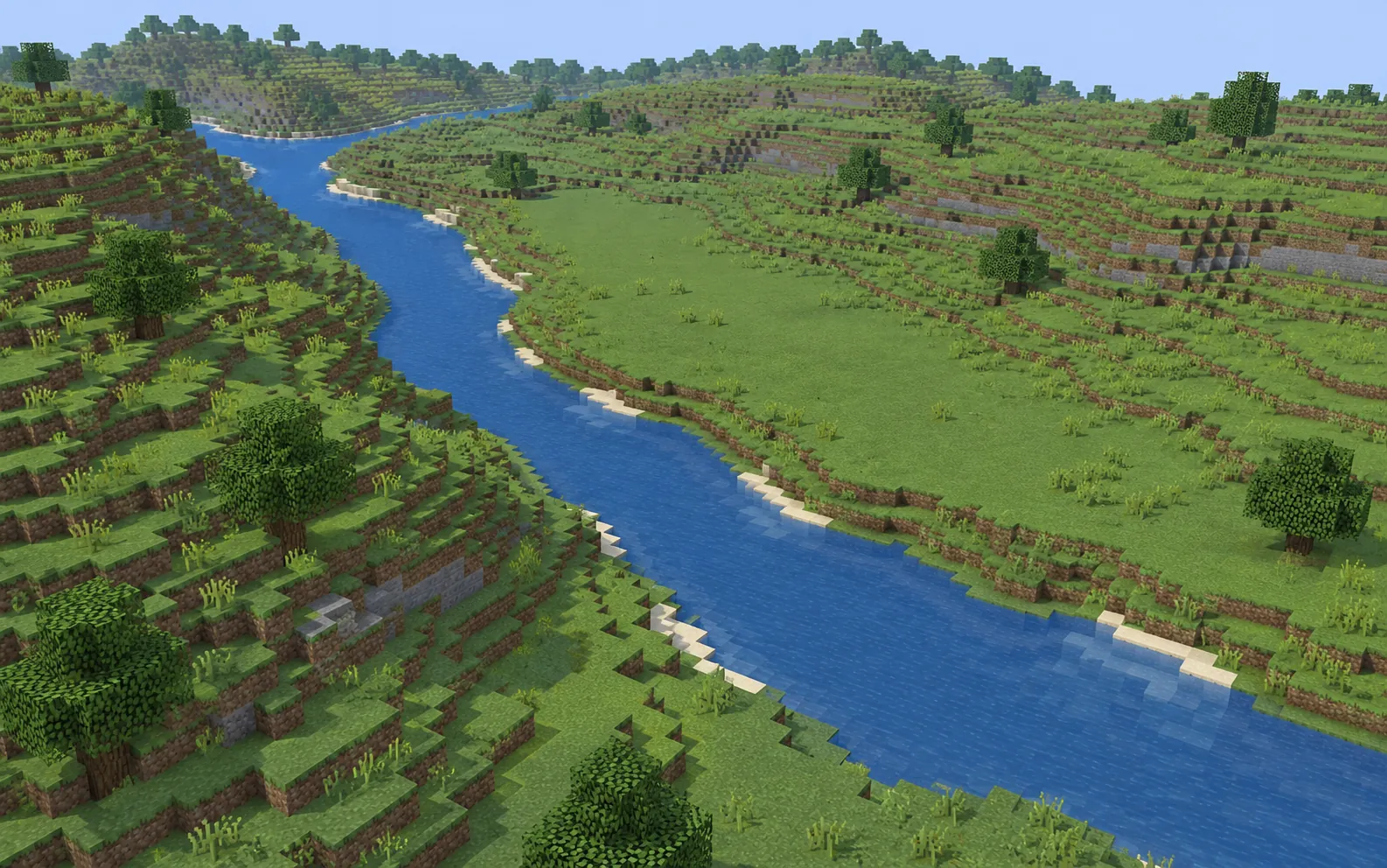
| Mode | Best starting point |
|---|---|
| Terrain only | Focus on available elevation and landforms without mapped buildings and roads. |
| Buildings + terrain | Combine landforms with mapped buildings and roads when data is available. |
| Map objects only | Focus on mapped objects rather than recreating real elevation. |
Explore real-world Minecraft terrain generation. Compare terrain-only and buildings with terrain, then select a real area using the online map.
Enter at least 3 characters to search. Place search: Photon · OpenStreetMap contributors
Terrain detail depends on elevation coverage, source resolution and the selected area. Elevation shapes the landforms; OpenStreetMap supplies mapped objects such as roads and buildings.
OpenStreetMap to Minecraft →This tool uses a selected geographic area. It does not provide heightmap, DEM or custom terrain-file upload.
Choose buildings + terrain if you want mapped buildings and roads. Terrain-only is intended for the landscape. Mode availability is checked by the tool.
Extract the ZIP and copy the folder containing level.dat to your Minecraft Java saves folder. The Java import guide covers folder locations and troubleshooting.
Start with a small area and choose the edition you use.
Guides