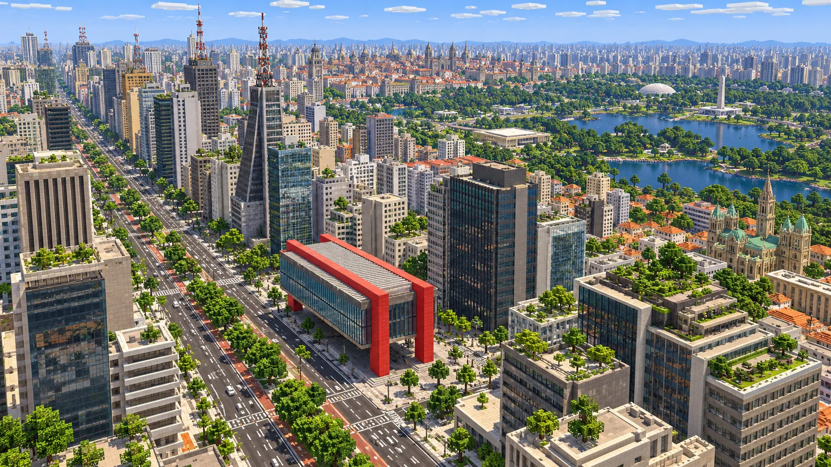
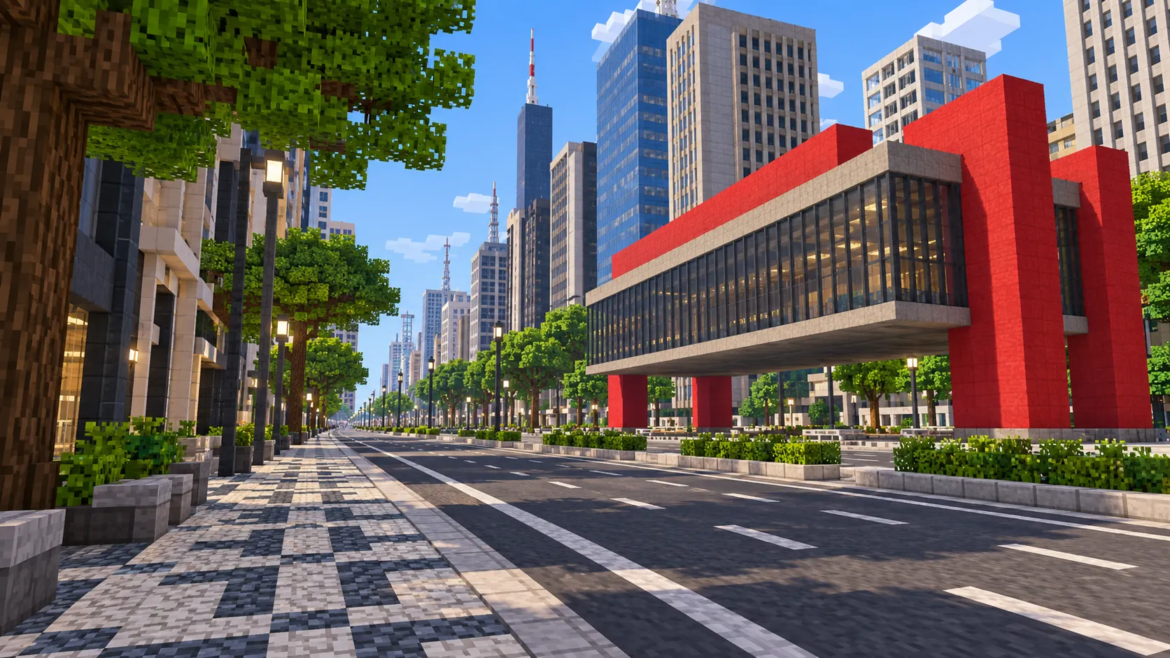
Central São Paulo in one Minecraft world, from Ibirapuera Park in the south to Luz Station in the north. This São Paulo Minecraft map covers 26.8 km² built from real OpenStreetMap data: all 2.8 km of Avenida Paulista, the park with its lake and Niemeyer pavilions, the Japanese-Brazilian quarter of Liberdade, and the historic center around the Sé Cathedral, the São Bento Monastery and the Anhangabaú valley. You spawn on the Paulista sidewalk in front of MASP. Download it for Java or Bedrock, or open it in the in-browser player on this site.
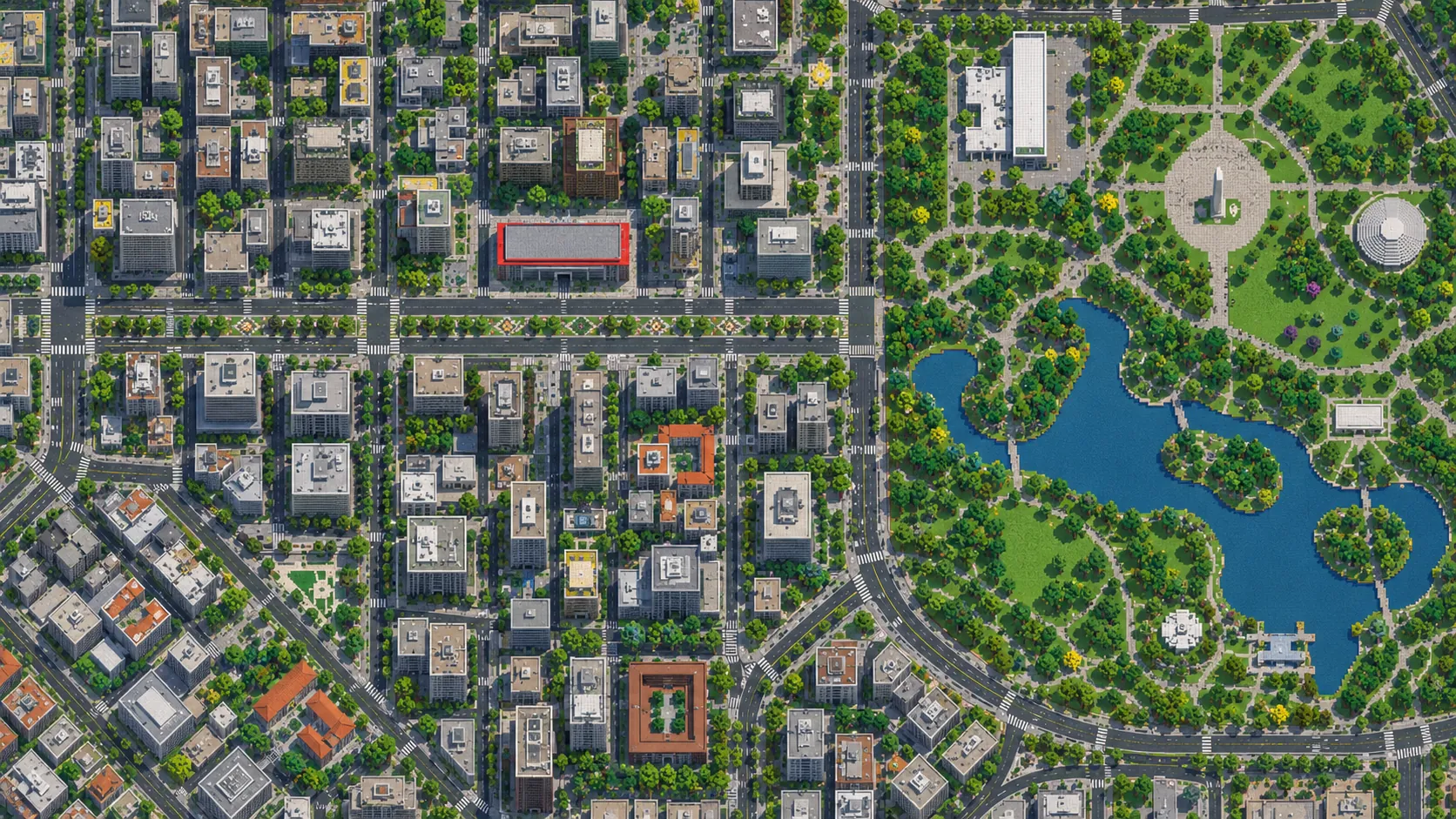
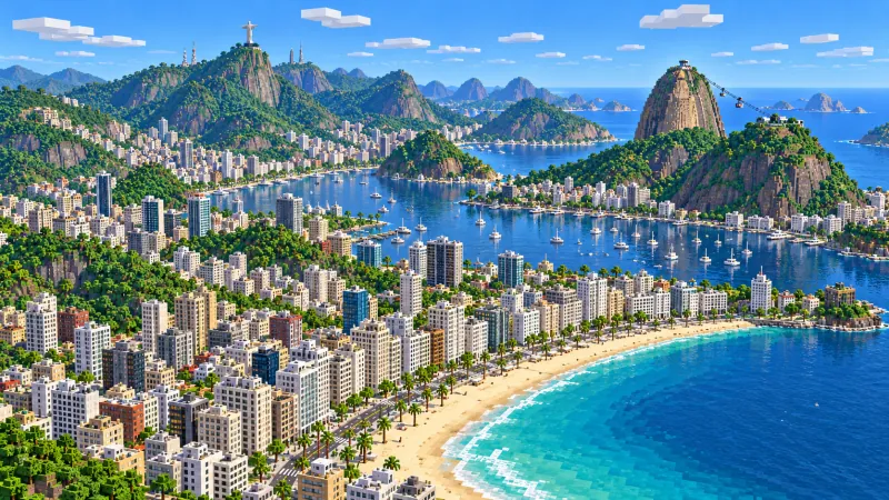
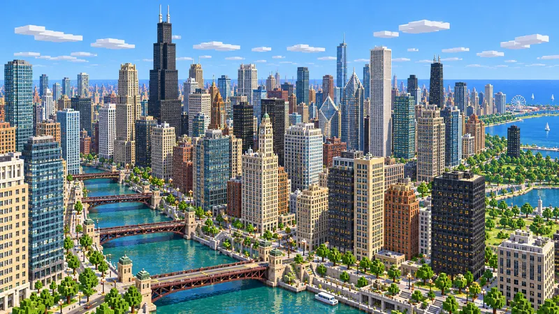
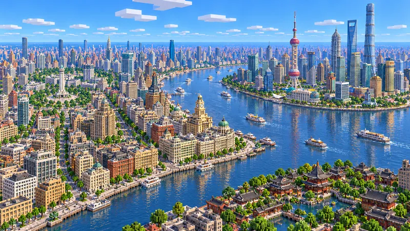
Illustrations. Generated worlds follow OpenStreetMap data and differ in detail.
Starting area
Central São Paulo: Paulista, Ibirapuera & the old center
Size
26.8 km²
Editions
Java & Bedrock
Download
Ready to play
Data
OpenStreetMap
01 / Overview
Overview: São Paulo as a Minecraft world
The map is a tall rectangle, about 3.8 km east to west and 7 km north to south, from 23.533° to 23.596° S and 46.628° to 46.6655° W. Three districts fit inside it. In the south is Ibirapuera Park, almost the whole of it. In the middle, running diagonally from north-west to south-east, is Avenida Paulista. In the north-east is the old center: the Sé, the triangle of streets around São Bento, the Anhangabaú valley, República and Luz. Liberdade and the Bela Vista slopes connect Paulista with the center. Pacaembu stadium sits right on the west edge and is cut in half; Vila Madalena, Pinheiros, Faria Lima and the Ponte Estaiada are outside the map, and Vila Madalena and the Ponte Estaiada have their own areas below.
Unlike Jakarta or Chicago, São Paulo is not flat. Paulista runs along a ridge, the espigão, 80 to 95 m above the Anhangabaú valley and the Tamanduateí river plain by the Mercado Municipal. The generator builds the ground from elevation data, so in the world you walk downhill from MASP to the center, and the Viaduto do Chá crosses a real valley. It turns OpenStreetMap streets, building footprints, the park lake, rail lines and land cover into blocks at about one block per meter, which makes the world roughly 3,830 × 7,010 blocks.
From the spawn at MASP it is about 2.6 km south to the Obelisk at the park gate, 2.5 km east-north-east to the Sé Cathedral and 3.7 km north-east to Luz Station at the north edge. Those are straight lines. São Paulo’s streets are not a grid, so on foot the trips are longer, along Rua da Consolação, Avenida Brigadeiro Luís Antônio or Avenida 23 de Maio, the expressway that follows the valley between Paulista and the center.
Illustrations. Generated worlds follow OpenStreetMap data and differ in detail.
02 / Inside the map
What's included in the São Paulo map
The recommended starting area covers Avenida Paulista from Rua da Consolação to Praça Oswaldo Cruz, MASP and Trianon Park, Conjunto Nacional, Japan House and Sesc Avenida Paulista, Ibirapuera Park with its lake, the Marquise, the Oca, the Bienal pavilion, the Auditório, the Planetarium and the Museu Afro Brasil, the Obelisk and the Monument to the Bandeiras, Liberdade and Praça da Liberdade, Centro Cultural São Paulo, the Sé Cathedral and Praça da Sé, Pátio do Colégio, the São Bento Monastery, the Altino Arantes building (Farol Santander), the Martinelli building, the Viaduto do Chá and the Anhangabaú valley, the Theatro Municipal, Praça da República, Edifício Itália and Copan, the Mercado Municipal, and Luz Station with the Museum of the Portuguese Language and the Pinacoteca. Places marked as separate presets are outside it. Open them from the customize section below.
Starting area
MASP and Avenida Paulista
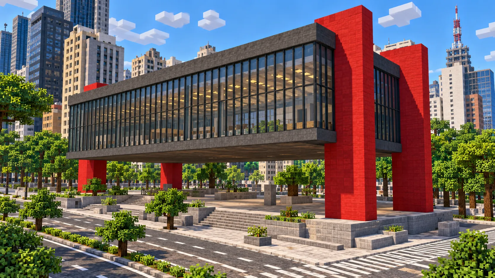
You spawn on the sidewalk in front of MASP, the São Paulo Museum of Art. Lina Bo Bardi’s building opened in 1968: a two-story glass box carried by two red concrete frames over a 74 m open plaza, the vão livre. Paulista itself opened in 1891 as a street of coffee-baron mansions and is now 2.8 km of banks, offices and broadcast towers. Both ends, at Rua da Consolação and Praça Oswaldo Cruz, are inside the map.
Starting area
Trianon Park, Conjunto Nacional and Japan House
Across the avenue from MASP is Trianon Park, a block of the original Atlantic Forest kept as a park since 1892. About 500 m north-west, at the corner of Rua Augusta, stands the Conjunto Nacional, a long low block of shops with a slab tower on top. Toward the Paraíso end are Japan House, opened in 2017, and Sesc Avenida Paulista, whose roof deck looks back down the avenue.
Starting area
Ibirapuera Park
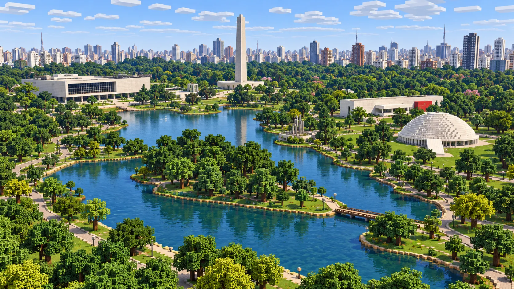
The park opened in 1954 for the city’s 400th anniversary and covers about 158 hectares, almost all of them inside the world. Oscar Niemeyer designed its buildings: the Bienal pavilion, the low white dome of the Oca, the Auditório and the Marquise, a long, free-form canopy that links them. The lake winds through the middle of the park, with a footbridge and wooded islands.
Starting area
The Obelisk and the Monument to the Bandeiras
At the park’s north corner stand two of the city’s largest monuments. The 72 m Obelisk, a memorial to the 1932 Constitutionalist Revolution, was inaugurated in 1955 and finished in 1970. Across the junction, Victor Brecheret’s granite Monument to the Bandeiras is about 50 m long. In the world the Obelisk is a tall plain column; the sculpted figures of the Bandeiras monument are not generated.
Starting area
Liberdade
East of Paulista, about 2.3 km from the spawn, is Liberdade, the district settled by Japanese immigrants in the early 20th century and now home to Japanese, Chinese and Korean shops. Its center is Praça da Liberdade, with the metro station and the weekend street market. The red torii gate on Rua Galvão Bueno and the suzuran street lamps are details you add yourself.
Starting area
Sé Cathedral and Pátio do Colégio
The neo-Gothic Sé Cathedral was inaugurated in 1954, also for the 400th anniversary, though its two 92 m towers were only finished in 1967. The square in front of it is the city’s kilometer zero. A few hundred meters north is Pátio do Colégio, where Jesuit priests founded the mission that became São Paulo on 25 January 1554; the present church and college are a 20th-century reconstruction.
Starting area
São Bento, Martinelli and Farol Santander
The São Bento Monastery closes the north end of the old triangle; its basilica was built from 1910 to 1914. Nearby are two early towers: the Martinelli building, opened in 1929 and long billed as Brazil’s first skyscraper, and the Altino Arantes building, 161 m, completed in 1947 for the state bank and now Farol Santander. Both stand about 250 m south of the monastery. The Mercado Municipal, opened in 1933 with stained glass by Conrado Sorgenicht Filho, is about 500 m east, on the low ground by the Tamanduateí.
Starting area
Anhangabaú, the Theatro Municipal, Edifício Itália and Copan
The Viaduto do Chá crosses the Anhangabaú valley from the old center to the Theatro Municipal, which opened in 1911 and hosted the 1922 Modern Art Week. The current viaduct dates from 1938. West of it, around Praça da República, stand Edifício Itália, 165 m, and Niemeyer’s Copan, 115 m, whose wavy S-shaped slab holds more than a thousand apartments.
Separate preset
Luz Station, the Pinacoteca and the Ponte Estaiada
At the north edge, Luz Station with its clock tower holds the Museum of the Portuguese Language, which burned in 2015 and reopened in 2021. The Pinacoteca stands a block away on the edge of Jardim da Luz, and only the south part of that garden is inside the map. The Ponte Estaiada, the X-shaped 138 m mast over the Pinheiros river, is about 7 km south-west of MASP and outside this world; its own area generates it.
Illustrations. Generated worlds follow OpenStreetMap data and differ in detail.
03 / Why this city
What makes São Paulo special in Minecraft
Height, first of all. Most city maps on this site are flat plains with buildings on them. In São Paulo the terrain is part of the map. Paulista sits on the ridge with its antenna masts on top of the towers, the center lies in the valleys of the Anhangabaú and the Tamanduateí, and the streets in between climb and drop along the Bela Vista slopes. Stand at the Paraíso end of Paulista and look north: the ground falls away through Bela Vista and Liberdade, and the towers of the old center rise again from the valley beyond.
Density is the second thing. São Paulo is a city of tall residential slabs as much as office towers, and the area between Paulista and the center is packed with them. Every mapped building comes out on its own footprint at its tagged height, so the world has thousands of separate blocks of flats, and the larger landmarks stand among them at their real positions: the Copan curve, the Itália tower, the Martinelli, the Sé on its square, MASP on the avenue. The contrast with Ibirapuera, where the trees, lawns and lake take up most of the space, is easy to see from above.
What you do not get is the shape of the famous buildings. MASP is generated from its outline as a solid block, so the open plaza under the gallery is filled in and the red frames are not there. The Oca has no dome and the Marquise is a flat slab; the Sé has no spires, Copan has no brise-soleil, and the Obelisk has no taper. Roofs are flat, buildings without height tags get a default height, and the metro, the 23 de Maio tunnels and all interiors are missing. You start with the street plan, the terrain and every mapped building in place; the landmark shapes are yours to build.
04 / Play
Best ways to play the São Paulo map
Challenge 01
Open up the vão livre
The first job is at the spawn. Clear out the ground floor of the MASP block to recreate the 74 m open plaza, rebuild the two red frames in red concrete and put the glass gallery back on top with black stained glass. Keep the plaza level with the sidewalk, as it is on Paulista, and leave the stairs down to the lower floors at its back edge.
Challenge 02
Run a metro line under Paulista
Line 2–Green runs under Paulista from Consolação to Paraíso. Dig a tunnel about 20 blocks below the avenue and build stations at Consolação, Trianon-Masp, Brigadeiro and Paraíso, about 2.8 km of track in all. From Paraíso you can carry on north through Liberdade to Sé, as Line 1–Blue does.
Challenge 03
Ride downhill from Paulista to the Sé
Start at the Brigadeiro metro entrance on Paulista and ride down Avenida Brigadeiro Luís Antônio through Bela Vista to Largo São Francisco, then east to the cathedral. It is about 3 km and drops about 75 blocks, so it makes a good downhill rail line. For the climb back, add powered rails every few blocks.
Challenge 04
Finish Ibirapuera
The park is the biggest open space in the map. Give the Oca its white dome, raise the wavy Marquise canopy on thin columns between the pavilions, and put the Bienal’s ramps inside. On Sundays the real park is crowded with cyclists and joggers; a cycle loop around the lake makes a good server event.
05 / Download
Download and install
Download the Central São Paulo: Paulista, Ibirapuera & the old center starting area as a ready-made world for Java or Bedrock Edition.
Java Edition
UnzipExtract the ZIP to get a folder with level.dat inside.
CopyMove the folder into .minecraft/saves.
PlayOpen Minecraft Java Edition and choose Singleplayer.
Bedrock Edition
OpenOn Windows, double-click the .mcworld file. On phones and tablets, open it with Minecraft.
ImportMinecraft imports the world automatically.
PlayFind the new world in your Worlds list and open it.
If the world does not show up
Java: check that level.dat sits directly inside the world folder, not one folder deeper.
Bedrock: if double-clicking does nothing, open Minecraft first and then open the .mcworld file again.
Open the world with the listed Minecraft version or a newer one.
Lower your render distance if a large city loads slowly at first.
About 4.1 km² around the Ponte Estaiada on the Pinheiros river, about 7 km south-west of Paulista: the bridge with its 138 m X-shaped mast, the Marginal Pinheiros expressway and the office towers along the river.
The map covers about 26.8 km², from 23.533° to 23.596° S and 46.628° to 46.6655° W. At about one block per meter the world is roughly 3,830 × 7,010 blocks.
The ground comes from elevation data. Avenida Paulista runs along a ridge at about Y 48, the Anhangabaú valley under the Viaduto do Chá is near Y -34, the streets by the Mercado Municipal are around Y -45, and the Ibirapuera lake sits near Y -18. Every route between Paulista and the center climbs or drops 70 blocks or more. The build limit is Y 319, and the tallest towers in the map stay well below it.
Streets, building footprints, the Ibirapuera lake, rail lines, parks and land cover come from OpenStreetMap. Building heights come from height and level tags where they exist and a default height where they do not.
Roof shapes, domes, spires, antenna masts, statues, interiors, the metro and road tunnels are not generated. MASP is a solid block without its open plaza, and Pacaembu stadium is cut by the west edge of the map.
OpenStreetMap is edited by volunteers, so coverage varies from street to street, and recent changes may be missing.
Central São Paulo from Ibirapuera Park to Luz Station: all of Avenida Paulista with MASP, Trianon Park and the Conjunto Nacional; Ibirapuera with the Obelisk, the Oca, the Bienal and the lake; Liberdade; and the old center with the Sé, Pátio do Colégio, São Bento, the Theatro Municipal, Copan, Edifício Itália, the Mercado Municipal and Luz Station. Vila Madalena, Pinheiros and the Ponte Estaiada are outside it; Vila Madalena and the Ponte Estaiada have their own areas.
Is the São Paulo map free?
No. It costs $6.99 or 700 points, paid once. You keep it: the Java and Bedrock versions stay in your account to download again, and you can open it in the in-browser player on this site.
Does the São Paulo map work with Minecraft Java Edition?
Yes. The Java download is a ZIP of about 250 MB, saved in Java 1.21.4. Unzip it so the world folder sits directly in .minecraft/saves, not inside a second folder, then open it from Singleplayer. Newer Java versions upgrade the world when they load it.
Is there a Bedrock version of the São Paulo map?
Yes. The Bedrock download is an .mcworld file of about 150 MB. Open it on Windows, Android or iOS and Minecraft imports the world. Consoles cannot import .mcworld files directly, and Mac has no Bedrock Edition, so Mac players should use the Java version.
Is MASP in the map?
Its position and outline are, and you spawn right in front of it. The generator turns its footprint into a solid block, so the open plaza underneath and the red frames are not there yet. Hollowing it out is the first build most players will want to do.
Is all of Avenida Paulista in the map?
Yes. The whole avenue, about 2.8 km from Rua da Consolação to Praça Oswaldo Cruz, is inside the world, together with the side streets of Jardins and Bela Vista on both sides of it.
Is Ibirapuera Park in the map?
Almost all of it: the lake, the Bienal pavilion, the Oca, the Auditório, the Planetarium, the Museu Afro Brasil and the Marquise, plus the Obelisk and the Monument to the Bandeiras at the north corner. The buildings are outlines with flat roofs, so the Oca dome and the canopy shapes are yours to build.
How big is the map compared with the real city?
It is close to real scale: about one block per meter, so the 26.8 km² area becomes a world of roughly 3,830 × 7,010 blocks. From MASP to the Sé Cathedral is about 2.5 km in a straight line, in the game as in São Paulo.
What game mode does the world open in?
Creative, at midday, with the spawn point on the Avenida Paulista sidewalk in front of MASP. Switch to Survival with /gamemode survival once you are in the world.
Can I use the São Paulo map on a server?
Yes. Put the Java world folder next to your server jar and set level-name in server.properties to its folder name. For Bedrock Dedicated Server, rename the .mcworld to .zip, extract it into its own folder inside worlds and set level-name to that folder’s name. Keep the OpenStreetMap attribution file that comes with the world.