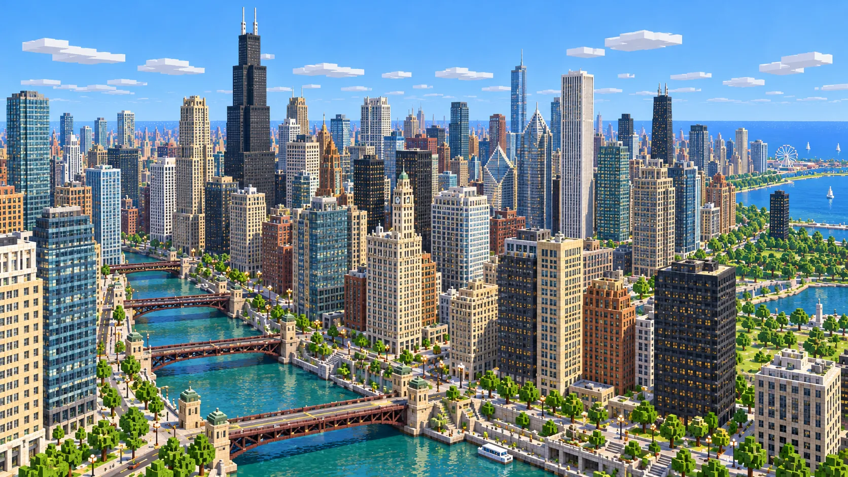
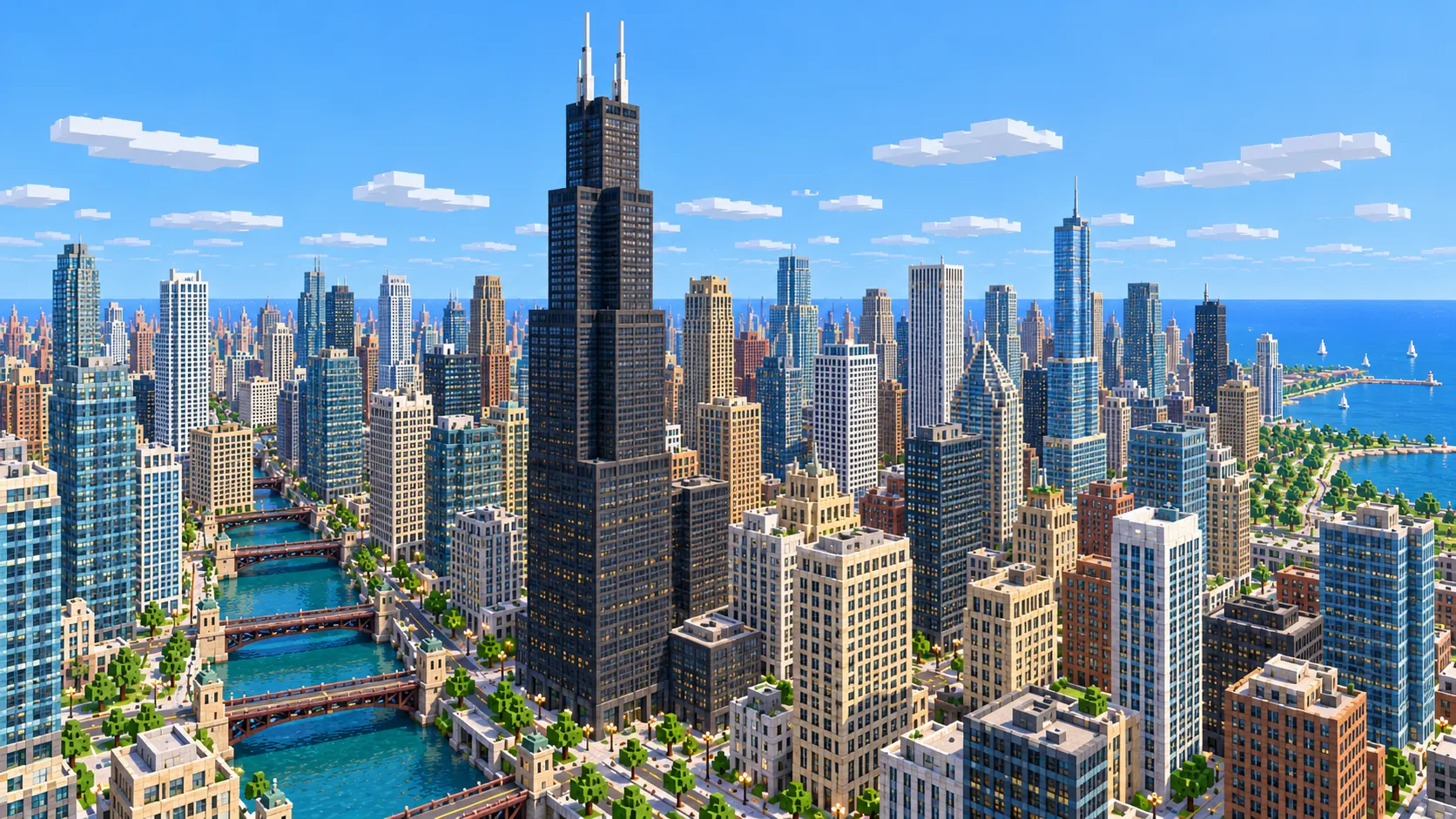
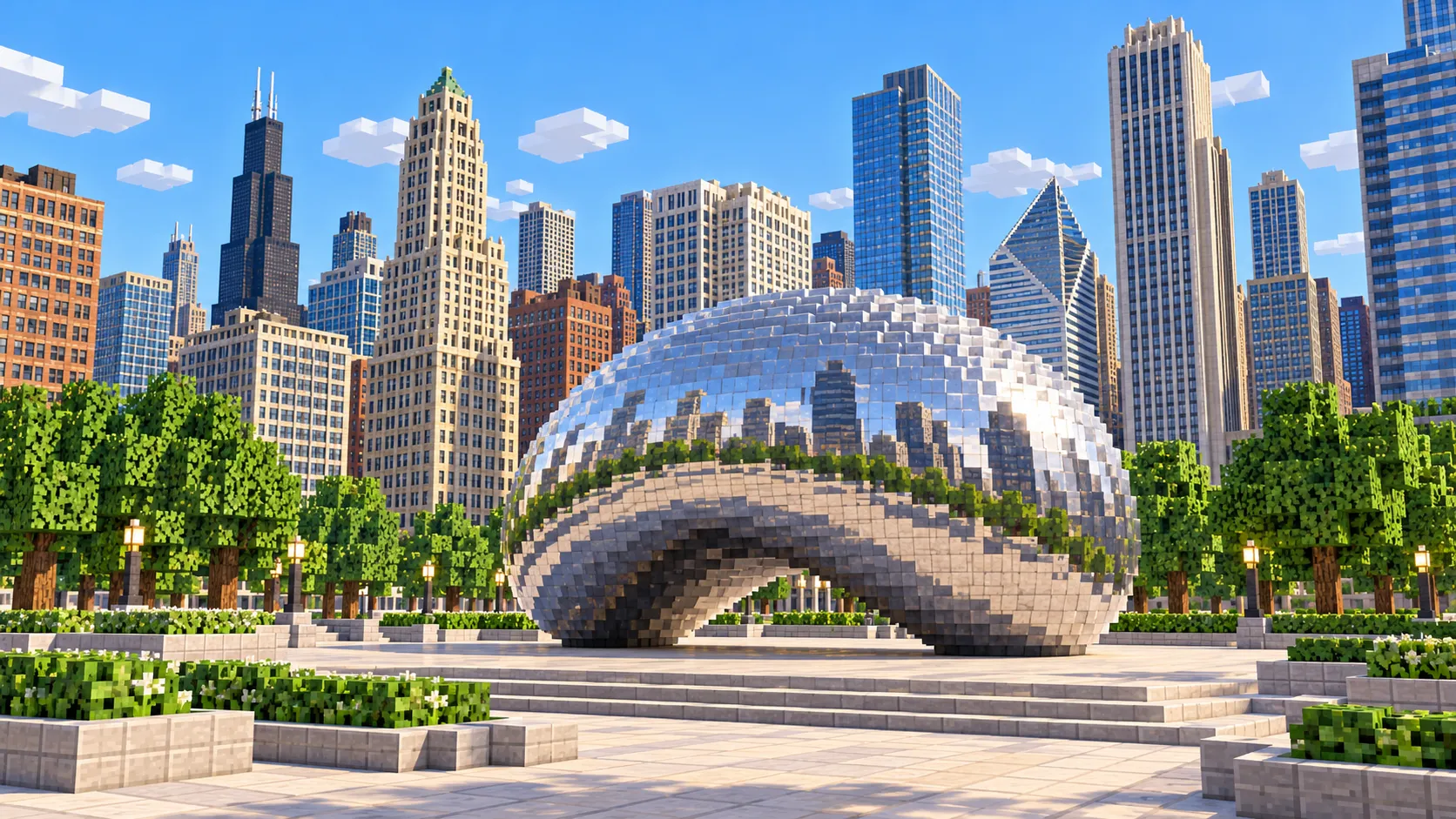
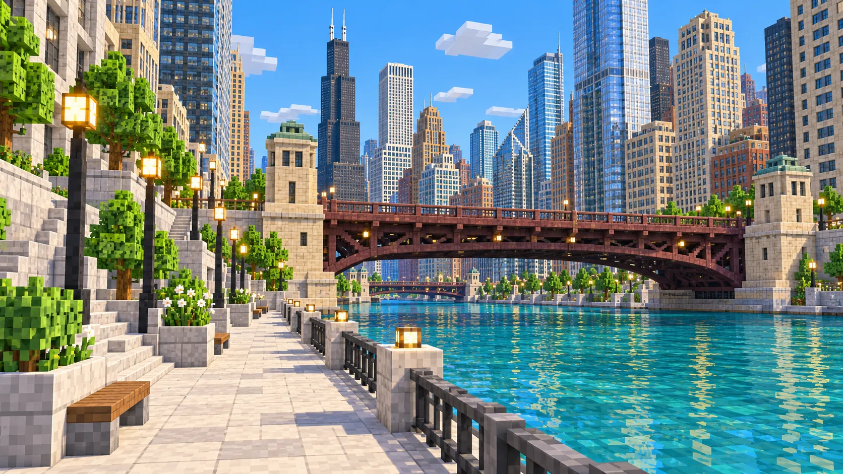
Downtown Chicago in one Minecraft world, from Union Station to the harbor lighthouse. This Chicago Minecraft map covers 22.5 km² built from real OpenStreetMap data: the Loop and Willis Tower, the Chicago River and its bridges, Streeterville and Navy Pier, Grant Park, and the Museum Campus with Soldier Field. You spawn at Cloud Gate in Millennium Park. Download it for Java or Bedrock, or open it in the in-browser player on this site.
Illustrations. Generated worlds follow OpenStreetMap data and differ in detail.
Starting area
Downtown: Loop, Navy Pier & Museum Campus
Size
22.6 km²
Editions
Java & Bedrock
Download
Ready to play
Data
OpenStreetMap
01 / Overview
Overview: Chicago as a Minecraft world
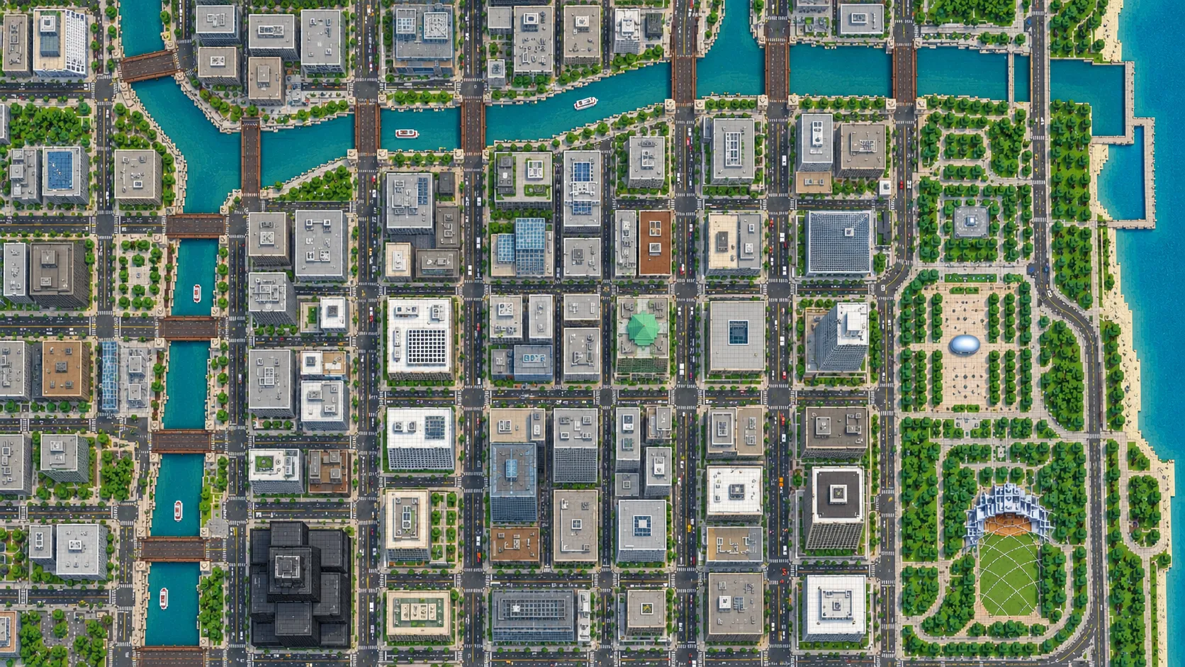
This map is a rectangle of about 4.7 by 4.8 km. Its west edge runs just past Des Plaines Street, one street short of Halsted, so Union Station and the south branch of the river are inside. The south edge sits just below 18th Street, which takes in Soldier Field and the northern half of Northerly Island. To the north it reaches about Walton Street, past the Water Tower and 875 North Michigan but just short of Oak Street and its beach. The east side is mostly Lake Michigan, out to the lighthouse at the end of the harbor breakwater.
Chicago suits a generated world. The ground is almost flat, and the street grid starts at State and Madison with eight city blocks to the mile, so the layout reads clearly from the air. The generator turns OpenStreetMap roads, building footprints, rail lines, parks and water into blocks at roughly one block per meter, then adds terrain from elevation data. The result is about 4,700 × 4,800 blocks, with street level roughly between Y -55 and Y -40. Sprinting from the west edge to the lighthouse takes about 15 minutes.
The Loop is solid towers on short city blocks. River North, across the river, mixes high-rises with old brick warehouses, and Streeterville is almost all towers. The South Loop has new towers along Michigan Avenue and lower blocks toward the river. Down the east side, Grant Park and the Museum Campus are open lawn and water. A square of the Loop alone would cut off those lakefront parks, so this map follows the shoreline for about 4 km.
Illustrations. Generated worlds follow OpenStreetMap data and differ in detail.
02 / Inside the map
What's included in the Chicago map
The recommended starting area covers Willis Tower, the Chicago River and Riverwalk, the elevated Loop, Millennium Park and Cloud Gate, the Magnificent Mile and the Water Tower, Navy Pier, Buckingham Fountain, the Field Museum, Shedd Aquarium, Adler Planetarium and Soldier Field. Places marked as separate presets are outside it. Open them from the customize section below.
Starting area
Willis Tower and the south branch
The tallest building in the map faces the river’s south branch across Wacker Drive, with Union Station about 350 m west on the other bank. It runs into the build limit at Y 319, so the upper floors are cut off.
Starting area
The Chicago River, the Riverwalk and the bridges
The main stem runs about 2 km from Wolf Point to the lake, with the Riverwalk along its south bank. Around 20 movable bridges cross the river in the downtown area. In the world they are fixed decks that cannot open, and the bridgehouses, where they are mapped, are plain blocks.
Starting area
The elevated Loop and State Street
The 2.88 km "L" circuit runs over Lake Street, Wabash Avenue, Van Buren Street and Wells Street, and it is usually credited with the Loop’s name. It shows up as mapped rail lines, not as the steel viaduct above the street. State Street cuts through the middle of it, and Madison Street crosses State at the zero point of the address grid.
Starting area
Millennium Park, Grant Park and Buckingham Fountain
You spawn at Cloud Gate. Grant Park runs about 1.7 km south from there to Roosevelt Road, past the Art Institute and Buckingham Fountain, with Maggie Daley Park on its east side. Cloud Gate and the fountain appear as flat footprints at most, so their shapes are yours to build.
Starting area
Navy Pier, Streeterville and the Magnificent Mile
From the end of Navy Pier the whole skyline lines up across the harbor; the pier itself is 1,010 m long and opened in 1916. Lake Point Tower stands alone at its base. North Michigan Avenue runs from the DuSable Bridge to the Water Tower, one of the few buildings that survived the 1871 fire.
Starting area
Museum Campus, Soldier Field and Northerly Island
The Field Museum, Shedd Aquarium and Adler Planetarium share a peninsula south of Grant Park, with Soldier Field just south of them. The Adler sits at the tip, so it has open water on three sides. The northern half of Northerly Island and 12th Street Beach are inside the map.
Illustrations. Generated worlds follow OpenStreetMap data and differ in detail.
03 / Why this city
What makes Chicago special in Minecraft
The lakefront is the big difference. Since the 1830s Chicago has kept most of its shoreline free of buildings, so south of Randolph Street the towers stop at Michigan Avenue and a band of parks runs along Lake Michigan. In the generated world this gives you a hard edge between skyline and open water along almost the full north–south length of the map. Lake Point Tower, at 197 m, is the one skyscraper east of Lake Shore Drive.
The river is the second. Since 1900 it has flowed away from the lake, through the Sanitary and Ship Canal, and its main stem and south branch form an L that sets the edges of the Loop, River North and the West Loop. The grid stops at the water and picks up again on the far bank, so the river works as a corridor through the city, about 2 km long from the lake to Wolf Point.
Here is what the map does not include. It is a footprint-accurate city, not a hand-built one. Towers have flat roofs and repeated window patterns, so the Art Deco tops along Michigan Avenue and the X-bracing on 875 North Michigan are missing, and there are no interiors. The Skydeck, the Centennial Wheel and the museum domes are not modeled. What you get is the real street plan, the real shoreline and every building in its place at roughly the right height, which is the part that takes longest to build by hand.
04 / Play
Best ways to play the Chicago map
Challenge 01
River to lake by boat
Put a boat in at Wolf Point, where the river branches meet, and follow the main stem east for about 2 km to the lake. Where a bridge deck sits too low to pass under, climb out and carry the boat over. Then turn north along the shore to the end of Navy Pier.
Challenge 02
A working "L" around the Loop
Build a raised minecart line over the mapped tracks on Lake, Wabash, Van Buren and Wells. The full circuit is 2.88 km, so plan on a lot of powered rail, or ride it in Creative flight first to scout the corners.
Challenge 03
Finish the landmarks
The footprints are already in place. Add setbacks to Willis Tower, put the X-bracing on 875 North Michigan, or sculpt Cloud Gate, which is about 20 blocks long and 10 blocks high at this scale.
Challenge 04
Lakefront tour for a server
Run a tour from Navy Pier south along the shore to the Adler Planetarium, about 3 km, with stops at Buckingham Fountain and the Shedd Aquarium. On a server, the river and the parks make natural borders for team districts.
05 / Download
Download and install
Download the Downtown: Loop, Navy Pier & Museum Campus starting area as a ready-made world for Java or Bedrock Edition.
Java Edition
UnzipExtract the ZIP to get a folder with level.dat inside.
CopyMove the folder into .minecraft/saves.
PlayOpen Minecraft Java Edition and choose Singleplayer.
Bedrock Edition
OpenOn Windows, double-click the .mcworld file. On phones and tablets, open it with Minecraft.
ImportMinecraft imports the world automatically.
PlayFind the new world in your Worlds list and open it.
If the world does not show up
Java: check that level.dat sits directly inside the world folder, not one folder deeper.
Bedrock: if double-clicking does nothing, open Minecraft first and then open the .mcworld file again.
Open the world with the listed Minecraft version or a newer one.
Lower your render distance if a large city loads slowly at first.
Chicago mapDowntown: Loop, Navy Pier & Museum Campus
Java Edition
ZIP world folder
124 MB
22.6 km²
Java 1.21.4
Bedrock Edition
.mcworld file
62 MB
22.6 km²
Bedrock 1.21
06 / Customize
Customize this Chicago map
Each area opens the generator with the rectangle already drawn. Move it, resize it or change the mode before you generate.
Downtown: Loop, Navy Pier & Museum Campus
22.6 km²
The area of this map: the Loop, the river, Streeterville and Navy Pier, Grant Park and the Museum Campus, from Des Plaines Street to the harbor lighthouse.
The map covers 22.5 km², from 41.857° to 41.900° N and 87.645° to 87.588° W. At about one block per meter the world is roughly 4,700 × 4,800 blocks, and about two fifths of it is Lake Michigan.
Street level sits roughly between Y -55 and Y -40, which leaves about 360 blocks above the streets. Willis Tower, 875 North Michigan and Trump Tower reach the build limit at Y 319 and are cut off there; Aon Center and the St. Regis fit below it.
Bridges are fixed decks, and the elevated Loop appears as mapped rail lines without its steel structure. Building interiors, sculptures, fountains and roof shapes are not generated.
Building heights come from the height and level tags in OpenStreetMap. Buildings without a tag get a default height, so some smaller ones are shorter or taller than in reality.
OpenStreetMap is edited by volunteers, so coverage varies from street to street, and recent changes may be missing.
Downtown from Union Station to the harbor lighthouse and from 18th Street to Walton Street: the Loop and Willis Tower, the river and Riverwalk, River North, Streeterville, Navy Pier, the Magnificent Mile, Millennium Park, Grant Park and the Museum Campus with Soldier Field. Oak Street Beach, Wrigley Field, Lincoln Park and Hyde Park are outside it.
Is the Chicago map free?
No. It costs $6.99 or 700 points, paid once. You keep it: the Java and Bedrock versions stay in your account to download again, and you can open it in the in-browser player on this site.
Does the Chicago map work with Minecraft Java Edition?
Yes. The Java download is a ZIP of about 130 MB, saved in Java 1.21.4. Unzip it so the world folder sits directly in .minecraft/saves, not inside a second folder, then open it from Singleplayer. Newer Java versions upgrade the world when they load it.
Is there a Bedrock version of the Chicago map?
Yes. The Bedrock download is an .mcworld file of about 65 MB. Open it on Windows, Android or iOS and Minecraft imports the world. Consoles cannot import .mcworld files directly, and Mac has no Bedrock Edition, so Mac players should use the Java version.
What game mode does the world open in?
Creative, at midday, with the spawn point at Cloud Gate in Millennium Park. You can switch to Survival with the /gamemode command once you are in the world.
Is Willis Tower full height?
No. It is taller than the space between street level and the build limit at Y 319, so the generator stops it there. The footprint and position are right; the top floors and antennas are missing. 875 North Michigan and Trump Tower are cut off the same way.
How big is the map compared with the real city?
It is close to real scale: about one block per meter, so the 22.5 km² area becomes a world of roughly 4,700 × 4,800 blocks. From the east end of Navy Pier to Willis Tower is about 3.3 km in a straight line, in the game as in Chicago.
Can I use the Chicago map on a server?
Yes. Put the Java world folder next to your server jar and set level-name in server.properties to its folder name. For Bedrock Dedicated Server, extract the .mcworld into the worlds folder. Keep the OpenStreetMap attribution file that comes with the world.