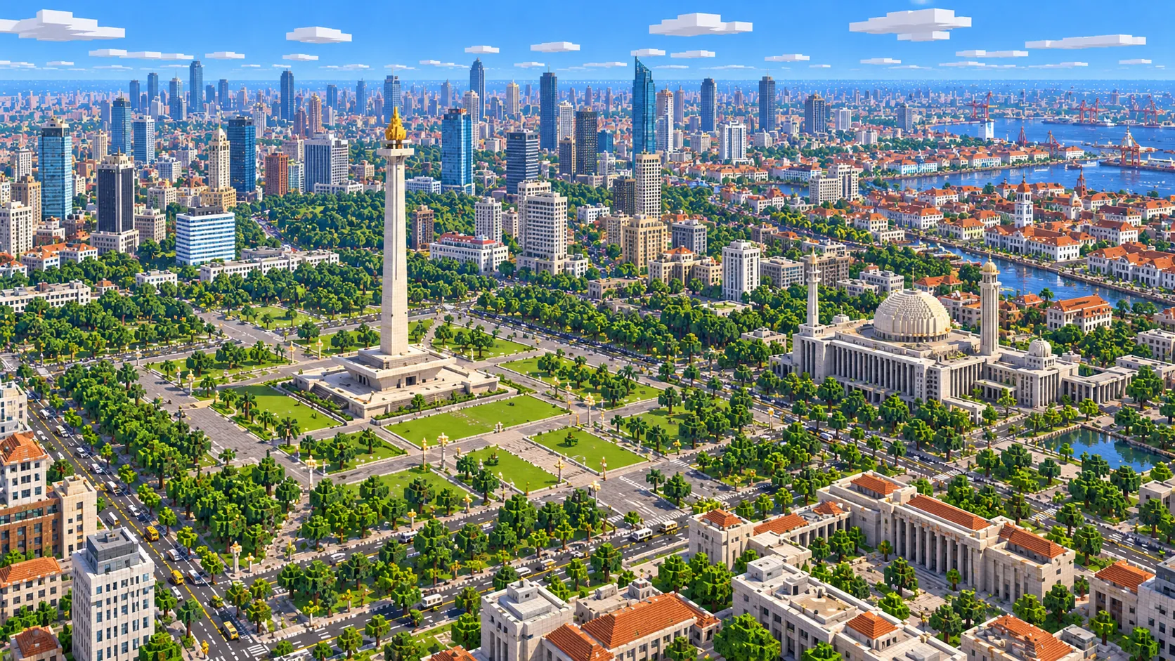
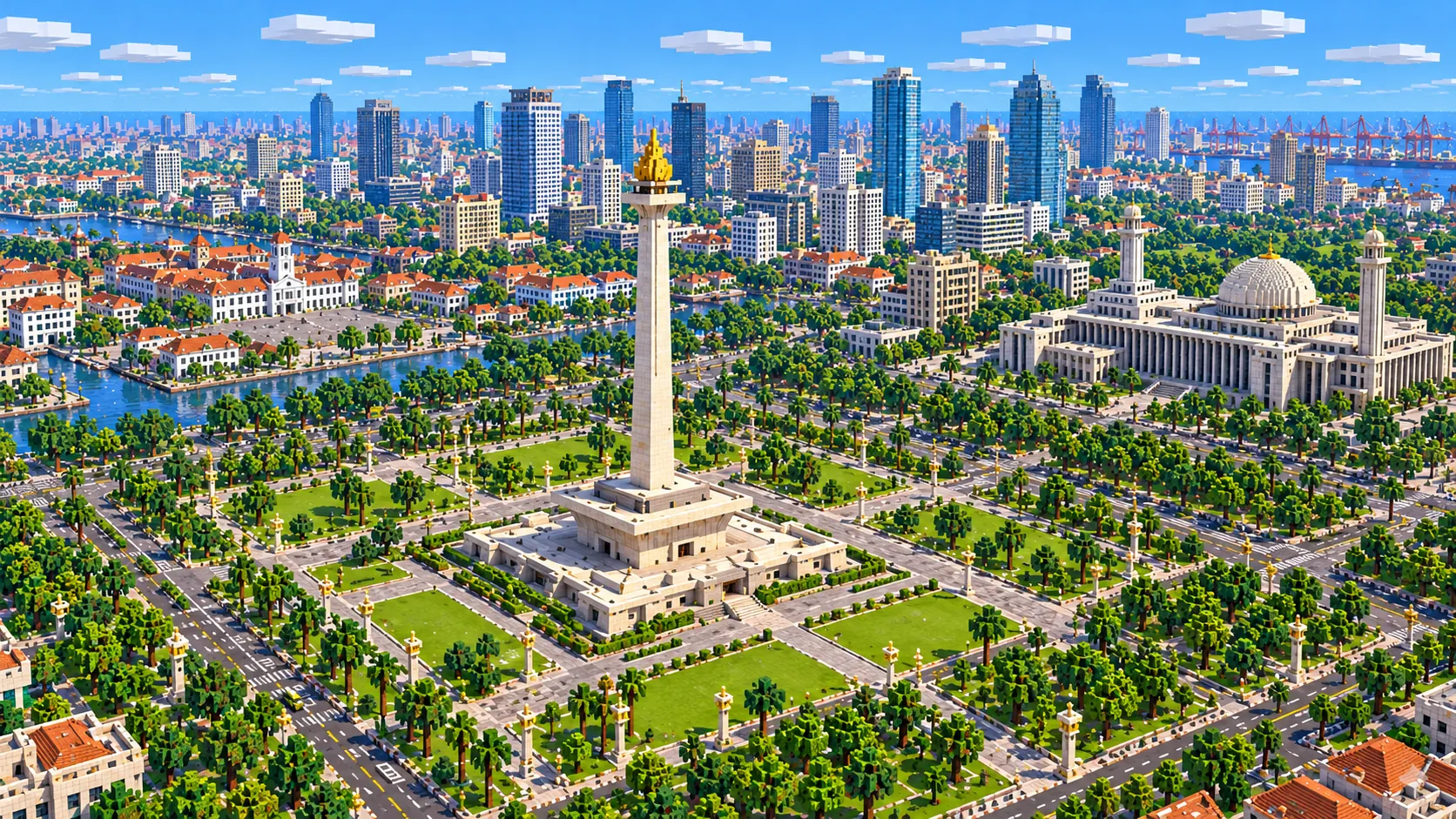
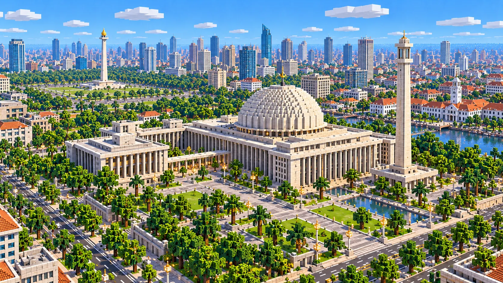
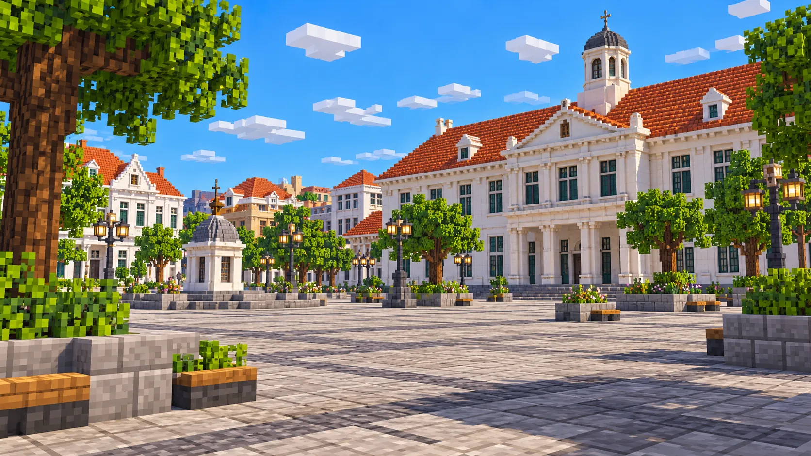
Central Jakarta in one Minecraft world, from the schooner piers of Sunda Kelapa to Merdeka Square. This Jakarta Minecraft map covers 21 km² built from real OpenStreetMap data along the old north–south axis of the city: Kota Tua and Fatahillah Square, the Chinatown of Glodok, the canal between Jalan Gajah Mada and Jalan Hayam Wuruk, and Merdeka Square with Monas, Istiqlal Mosque and the Cathedral. You spawn on the plaza just south of Monas. Download it for Java or Bedrock, or open it in the in-browser player on this site.
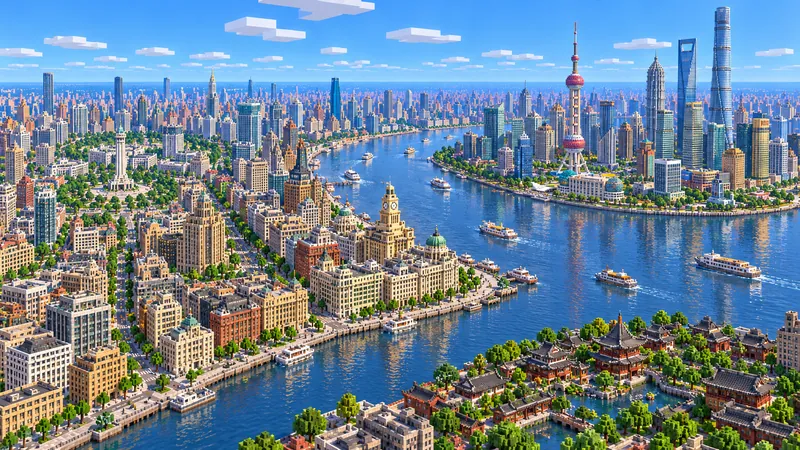
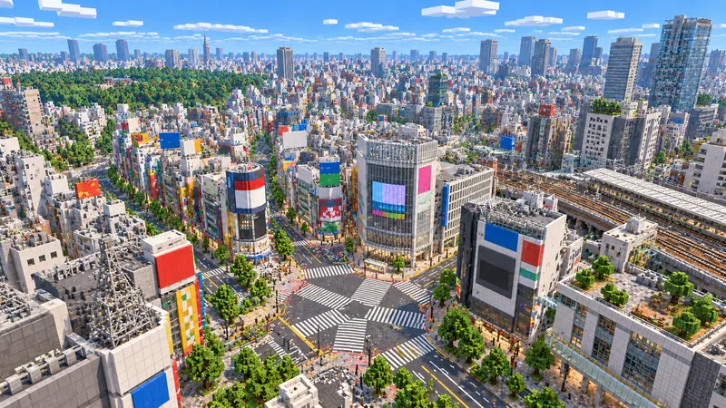
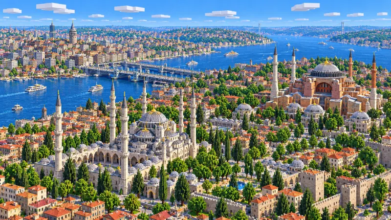
Illustrations. Generated worlds follow OpenStreetMap data and differ in detail.
Starting area
Central Jakarta: Monas, Istiqlal & Kota Tua
Size
21.1 km²
Editions
Java & Bedrock
Download
Ready to play
Data
OpenStreetMap
01 / Overview
Overview: Jakarta as a Minecraft world
The map is a tall rectangle, about 3 km east to west and 6.9 km north to south, from 6.1195° to 6.182° S and 106.8075° to 106.835° E. It follows the line along which the city grew. In the north it takes in the Sunda Kelapa harbor and the old walled town of Batavia, now Kota Tua. In the middle it follows the twin roads and the canal of the old Molenvliet south to Merdeka Square. The south edge runs just below the square, at the Arjuna Wijaya statue where Jalan Thamrin begins; Thamrin, the Hotel Indonesia roundabout and the Autograph Tower are a separate area below. The east edge cuts through Lapangan Banteng, east of the Cathedral, and Ancol, just beyond the north end of that edge, is outside the map.
Jakarta sits on a flat coastal plain, and around the harbor it is at or even below sea level in places, so the elevation data hardly shows: the height in this world comes from buildings. The generator turns OpenStreetMap streets, building footprints, canals, rail lines, parks and land cover into blocks at about one block per meter, which makes the world roughly 3,040 × 6,950 blocks, with street level around Y -49. From the spawn at Monas it is about 5 km north to Fatahillah Square and about 6.4 km to the harbor at the north edge.
The three parts of the map look nothing alike. Kota Tua is a tight grid of 18th- and 19th-century warehouses and offices around canals, with the old harbor basin behind it. Glodok, just south of it, is the most tightly packed: small shophouses on narrow lanes. Around Merdeka Square the scale changes completely, with government buildings set back across wide roads from a park roughly a kilometer across. Walking the length of the map, you cross the city’s history from the Batavia of 1619 to the national monument of the 1970s.
Illustrations. Generated worlds follow OpenStreetMap data and differ in detail.
02 / Inside the map
What's included in the Jakarta map
The recommended starting area covers Monas and Merdeka Square, the Merdeka Palace, the National Museum, Gambir Station, Istiqlal Mosque, Jakarta Cathedral, Lapangan Banteng, the Jakarta Arts Building and the Pasar Baru gate, the Arjuna Wijaya statue, the Ciliwung canal between Jalan Gajah Mada and Jalan Hayam Wuruk, the National Archives Building, Glodok and Petak Sembilan, Kota Tua with Fatahillah Square, the Jakarta History Museum, the Wayang Museum and Café Batavia, Kali Besar and Toko Merah, the Kota Intan drawbridge, Jakarta Kota Station, the Syahbandar Tower, Museum Bahari and the Sunda Kelapa harbor. Places marked as separate presets are outside it. Open them from the customize section below.
Starting area
Monas and Merdeka Square
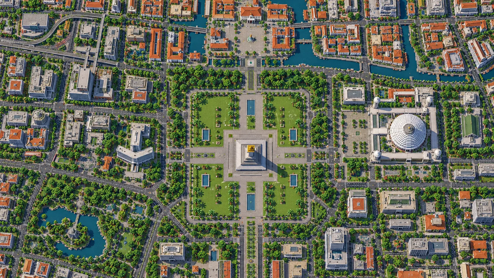
You spawn on the plaza just south of the National Monument. Monas is 132 m tall, was begun in 1961 and opened in 1975, and carries a gilded flame on top of its shaft. The park around it fills the space between the four Medan Merdeka roads, roughly a kilometer each way, with the Merdeka Palace on the north side, the National Museum on the west and Gambir Station on the east.
Starting area
Istiqlal Mosque and Jakarta Cathedral
Istiqlal, the largest mosque in Southeast Asia, stands just beyond the north-east corner of the square, about 900 m from the spawn. It was designed by Friedrich Silaban and opened in 1978; its main dome is 45 m across. The neo-Gothic Cathedral, consecrated in 1901, faces it across the street. The Friendship Tunnel that now links the two runs underground and is not in the world.
Starting area
Lapangan Banteng, Pasar Baru and the Arts Building
East of Istiqlal, the map ends in Lapangan Banteng, a second, smaller square: its western part is inside the world, while the West Irian Liberation Monument at its center sits right on the east edge. About 400 m north, the Jakarta Arts Building stands near the gate of Pasar Baru, the old shopping street on the far side of the canal; the gate end is inside the map, and most of the street runs on past the east edge.
Starting area
Jalan Gajah Mada, Hayam Wuruk and the Molenvliet canal
North of the square the city follows a canal dug in the 1640s to link Batavia with the land to the south. Jalan Gajah Mada runs along its west bank and Jalan Hayam Wuruk along its east bank, about 2.3 km from Harmoni to Glodok. The National Archives Building, a Dutch country house from the 1760s, stands on Gajah Mada.
Starting area
Glodok and Petak Sembilan
Jakarta’s Chinatown fills the blocks south of Kota Tua. The lanes around the Petak Sembilan market are among the narrowest in the map, and the Jin De Yuan temple, one of the oldest Chinese temples in the city, stands among them. The shophouses appear as rows of small, low blocks.
Starting area
Kota Tua and Fatahillah Square
The heart of old Batavia is about 5 km north of the spawn. Fatahillah Square is lined by the Jakarta History Museum, the former city hall completed in 1710, the Wayang Museum and Café Batavia. Jakarta Kota Station, an Art Deco terminus opened in 1929, is just south-east of the square.
Starting area
Kali Besar, Toko Merah and the Kota Intan bridge
West of the square, the Kali Besar canal runs north toward the harbor between rows of old trading offices, among them the red-brick Toko Merah. Further north, the Kota Intan drawbridge, first built in 1628 and the last Dutch-style drawbridge left in the city, crosses the canal.
Starting area
Sunda Kelapa, the Syahbandar Tower and Museum Bahari
The old harbor at the north edge is still used by wooden pinisi schooners. The Syahbandar Tower, a harbor lookout from 1839, stands near the waterfront, next to the VOC warehouses that now hold Museum Bahari, the maritime museum. The harbor basin and its quays are in the world; the ships are not.
Separate preset
Jalan Thamrin, Bundaran HI and the Autograph Tower
The Arjuna Wijaya chariot statue at the south-west corner of the square is the last landmark inside the map. From there Jalan Thamrin runs about 1.7 km south to Bundaran HI, the roundabout with the Welcome Monument in front of Hotel Indonesia, both from 1962. Just beyond it stands the Autograph Tower, 382.9 m and the tallest building in Indonesia. All of these are outside this world; the separate Thamrin area generates them.
Illustrations. Generated worlds follow OpenStreetMap data and differ in detail.
03 / Why this city
What makes Jakarta special in Minecraft
Most city maps on this site are squares around one center. Jakarta is a line. The city moved south over three centuries, from the walled port of Batavia to the 19th-century government district around what is now Merdeka Square, and later on to the towers of Thamrin and Sudirman. This map follows the first two steps of that line, so in one world you can walk, ride or take a minecart from the harbor to Monas and watch the street pattern change on the way: canals and warehouses, narrow Chinatown lanes, a long canal road, then broad avenues around the square.
Water is the second thing. Batavia was built on canals, and many of them are still there, mapped in OpenStreetMap as waterways: Kali Besar, the canal between Gajah Mada and Hayam Wuruk, and the Ciliwung branches around Pasar Baru. In the world they come through as channels a couple of blocks below the street, crossed by fixed bridges, and Kali Besar runs out to the harbor in the north. You can get a long way inland by boat, but low bridges and gates will stop you in places.
Building shapes come from footprints with flat roofs. Monas is mapped in parts, so it stands in steps: a wide platform about 27 blocks up and a square shaft to about Y 84, roughly its real 132 m, but without the cup shape, the taper or the gold flame; Istiqlal is its outline without the dome or the minaret, and the Cathedral has no spires. Colonial facades in Kota Tua, the tiled roofs of Glodok, statues and interiors are not generated, and neither is the tunnel between Istiqlal and the Cathedral. Buildings without height tags get a default height. What you do get is the real plan of the city, the canals and the harbor, and every mapped building on its own footprint.
04 / Play
Best ways to play the Jakarta map
Challenge 01
Finish Monas
The monument is the obvious first project, and the generated column already has the right height and footprint. Shape the cup-like platform, taper the shaft in quartz or smooth stone and put a 14-block flame of gold blocks on top. Then add the observation platform at about 115 blocks up, so you can look north up the canal road to Kota Tua.
Challenge 02
Harbor to Monas by boat
Put a boat in at Sunda Kelapa and head south up Kali Besar, under the Kota Intan bridge and past Toko Merah, then follow the canals toward Glodok and the Molenvliet. Where a low bridge or a gate blocks the channel, break the boat and place it again on the far side. It is about 6 km by water from the harbor to Merdeka Square.
Challenge 03
A Transjakarta line along the axis
Jakarta’s first busway corridor runs from Kota to Blok M along Gajah Mada and Hayam Wuruk, down the west side of Merdeka Square and along Thamrin. Build a raised minecart line over the part inside the map, from Jakarta Kota Station to the south-west corner of Merdeka Square, about 5 km, with stations at Glodok, Harmoni and Monas.
Challenge 04
Dress up Kota Tua
The buildings around Fatahillah Square are in place but plain. Give the History Museum its white facade, central tower and green shutters, put red tile roofs on the warehouses along Kali Besar and rebuild the Kota Intan drawbridge with pistons so it lifts. The square alone is small enough for one player to finish.
05 / Download
Download and install
Download the Central Jakarta: Monas, Istiqlal & Kota Tua starting area as a ready-made world for Java or Bedrock Edition.
Java Edition
UnzipExtract the ZIP to get a folder with level.dat inside.
CopyMove the folder into .minecraft/saves.
PlayOpen Minecraft Java Edition and choose Singleplayer.
Bedrock Edition
OpenOn Windows, double-click the .mcworld file. On phones and tablets, open it with Minecraft.
ImportMinecraft imports the world automatically.
PlayFind the new world in your Worlds list and open it.
If the world does not show up
Java: check that level.dat sits directly inside the world folder, not one folder deeper.
Bedrock: if double-clicking does nothing, open Minecraft first and then open the .mcworld file again.
Open the world with the listed Minecraft version or a newer one.
Lower your render distance if a large city loads slowly at first.
About 4.4 km² just south of this map: Jalan Thamrin from the Arjuna Wijaya statue to Bundaran HI, Hotel Indonesia and the Welcome Monument, and the Autograph Tower, which runs into the build limit at Y 319.
About 4.5 km² of Taman Mini Indonesia Indah in East Jakarta, the park with a pavilion for each province and a lake shaped like the Indonesian archipelago.
The map covers about 21 km², from 6.1195° to 6.182° S and 106.8075° to 106.835° E. At about one block per meter the world is roughly 3,040 × 6,950 blocks.
The ground comes from elevation data, but central Jakarta is almost flat, at or just above sea level and below it in parts of the north. Streets sit around Y -49, so nearly all the height in the world comes from buildings. Monas, the tallest thing in the map, reaches about Y 84.
Streets, building footprints, canals, the harbor, rail lines, parks and land cover come from OpenStreetMap. Building heights come from height and level tags where they exist and a default height where they do not.
Roof shapes, domes, minarets, spires, statues, interiors, the underground MRT and the Istiqlal–Cathedral tunnel are not generated. Bridges are fixed decks, and low ones can block a boat.
OpenStreetMap is edited by volunteers, so coverage varies from street to street, and recent changes may be missing.
Central Jakarta along its old north–south axis: the Sunda Kelapa harbor and Museum Bahari, Kota Tua with Fatahillah Square, Glodok, the canal between Gajah Mada and Hayam Wuruk, Merdeka Square with Monas, Istiqlal and the Cathedral, the Pasar Baru gate and the western half of Lapangan Banteng. Jalan Thamrin with Bundaran HI and the Autograph Tower, Ancol, Senayan and Taman Mini are outside it; Thamrin and Taman Mini have their own areas.
Is the Jakarta map free?
No. It costs $6.99 or 700 points, paid once. You keep it: the Java and Bedrock versions stay in your account to download again, and you can open it in the in-browser player on this site.
Does the Jakarta map work with Minecraft Java Edition?
Yes. The Java download is a ZIP of about 170 MB, saved in Java 1.21.4. Unzip it so the world folder sits directly in .minecraft/saves, not inside a second folder, then open it from Singleplayer. Newer Java versions upgrade the world when they load it.
Is there a Bedrock version of the Jakarta map?
Yes. The Bedrock download is an .mcworld file of about 97 MB. Open it on Windows, Android or iOS and Minecraft imports the world. Consoles cannot import .mcworld files directly, and Mac has no Bedrock Edition, so Mac players should use the Java version.
Is Monas in the map?
Its position, outline and height are, but not its shape. Monas is mapped in parts, so it stands in the middle of Merdeka Square as a stepped column: a wide platform and a square shaft up to about Y 84, roughly 133 blocks above the plaza. The cup shape, the taper and the gold flame are not generated. The spawn is right next to it, so it is the natural first build.
Is Kota Tua in the map?
Yes, about 5 km north of the spawn: Fatahillah Square with the History Museum, the Wayang Museum and Café Batavia, Kali Besar with Toko Merah, the Kota Intan drawbridge, Jakarta Kota Station and, further north, the Sunda Kelapa harbor with Museum Bahari.
How big is the map compared with the real city?
It is close to real scale: about one block per meter, so the 21 km² area becomes a world of roughly 3,040 × 6,950 blocks. From Monas to Fatahillah Square is about 5 km in a straight line, in the game as in Jakarta.
What game mode does the world open in?
Creative, at midday, with the spawn point on the plaza just south of Monas. Switch to Survival with /gamemode survival once you are in the world.
Can I use the Jakarta map on a server?
Yes. Put the Java world folder next to your server jar and set level-name in server.properties to its folder name. For Bedrock Dedicated Server, rename the .mcworld to .zip, extract it into its own folder inside worlds and set level-name to that folder’s name. Keep the OpenStreetMap attribution file that comes with the world.