Skip to content

Japan / City map

Takayama Minecraft Map

An Edo-period merchant town in the mountains of Gifu, in one Minecraft world. This Takayama Minecraft map covers 14 km² built from real OpenStreetMap data: the Sanmachi old streets, Takayama Jinya, the Miyagawa morning market, the shrines of both Takayama festivals, the Higashiyama temple district, Shiroyama Park and the Hida Folk Village. You spawn on Nakabashi, the red bridge over the Miyagawa. Download it for Java or Bedrock, or open it in the in-browser player on this site.

Java Edition · Bedrock Edition

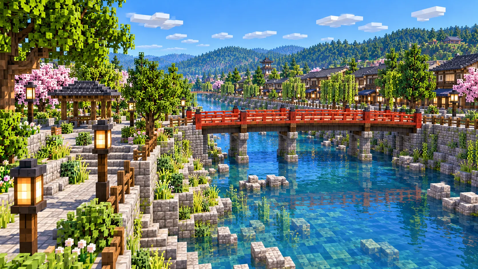
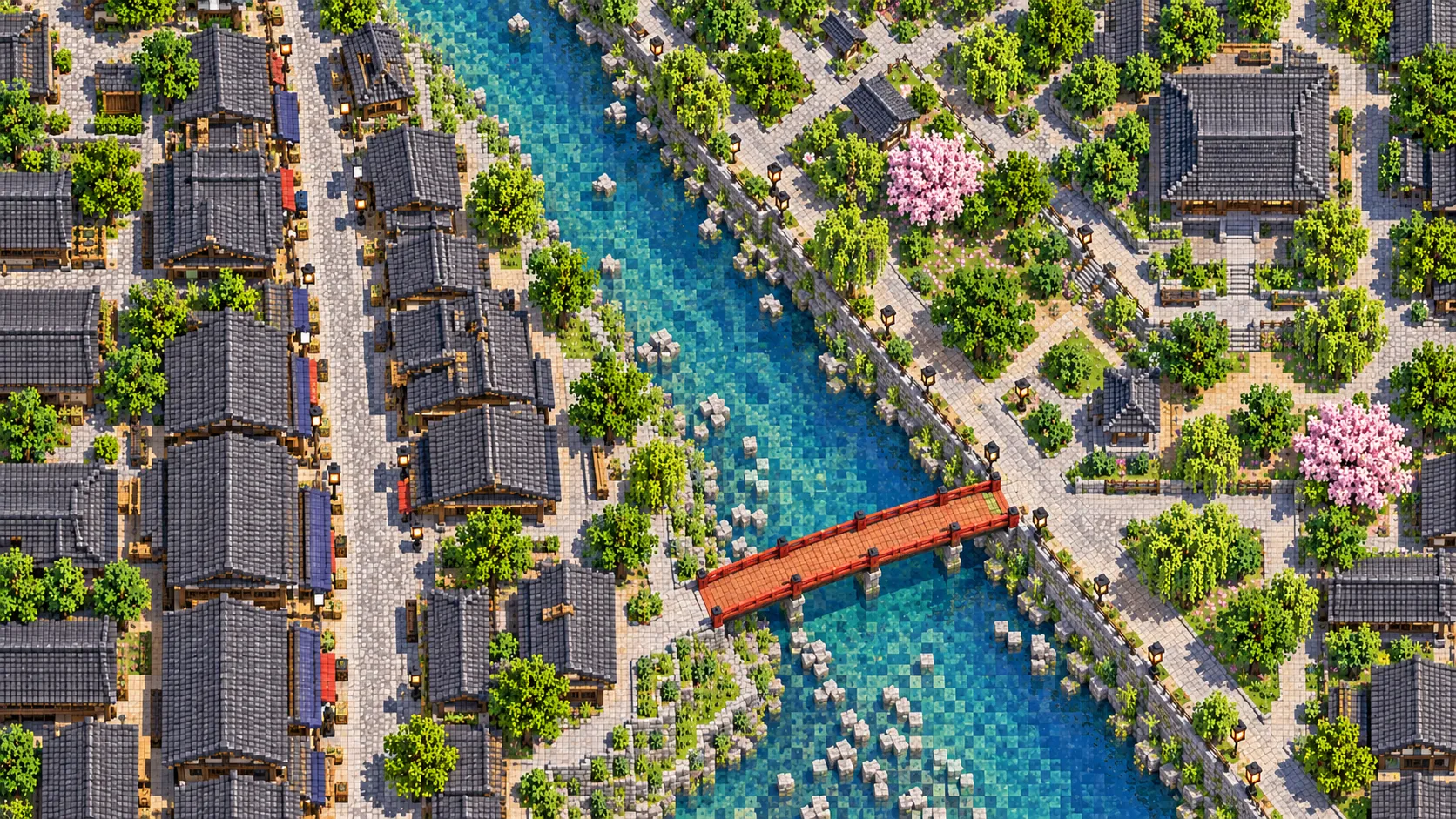
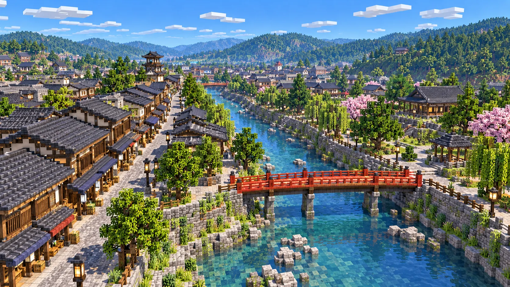
Illustration of a small Japanese old town in Minecraft blocks seen from high above, with dark timber shops and tiled roofs along a river crossed by a red footbridge
Illustrations. Generated worlds follow OpenStreetMap data and differ in detail.
Starting area
Old town, Miyagawa & Higashiyama
Size
14.1 km²
Editions
Java & Bedrock
Download
Ready to play
Data
OpenStreetMap

01 / Overview

Overview: Takayama as a Minecraft world

Takayama sits in a basin in the Hida mountains of Gifu Prefecture, about 570 m above sea level. Its old center is small. Takayama Station, the Miyagawa river and the Sanmachi streets are all within a 15-minute walk of each other, and this map takes in that whole center plus the hills on both sides. It is a rectangle of about 4.2 km east to west and 3.3 km north to south. The west edge is in the hills beyond the Hida Folk Village, the east edge in the wooded hills behind the Higashiyama temples, the north edge beyond Sakurayama Hachimangu and the south edge beyond Hie Shrine.

The town owes its layout to Kanamori Nagachika, who began a castle on Shiroyama in 1588 and laid out the merchant quarter below it. In 1692 the shogunate took Hida under direct rule, moved the Kanamori clan away and had the castle taken down within three years. The merchants stayed. For the next 176 years the province was run from Takayama Jinya, and the grid of the old town between the river and Shiroyama is still the one the Kanamori laid out.

The world is generated, not built by hand. The generator reads streets, building footprints, water, parks and land cover from OpenStreetMap for the rectangle, turns them into blocks at about one block per meter, and shapes the ground from elevation data. Central Takayama is mapped in close detail, down to the narrow lanes of the old town and the individual temple halls in Higashiyama, so the world reads as the real town even though every building is a simplified shape.

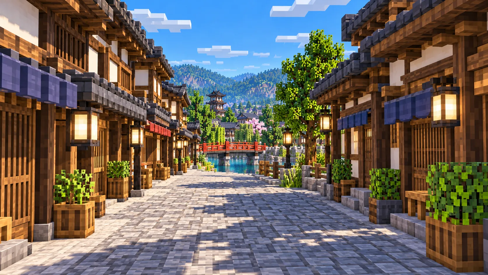
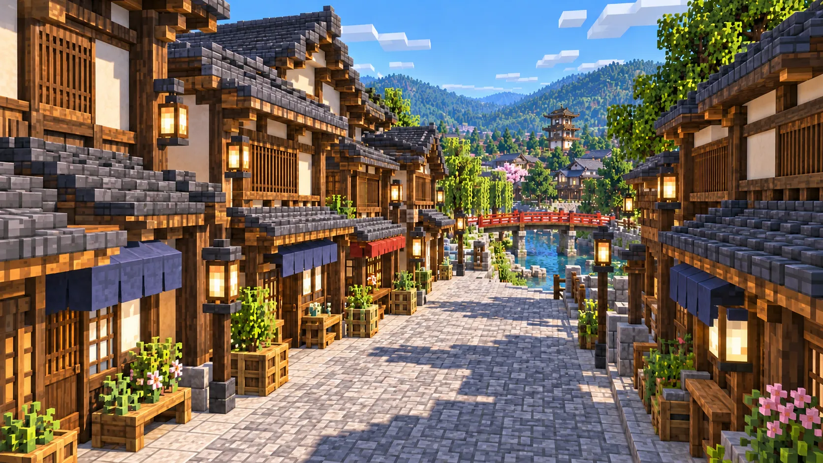
Illustration of an old merchant street lined with dark wooden shopfronts and lattice panels, with a red bridge visible at the end of the lane
Illustrations. Generated worlds follow OpenStreetMap data and differ in detail.

02 / Inside the map

What's included in the Takayama map

The recommended starting area covers Nakabashi, the Sanmachi old streets, Takayama Jinya, the Miyagawa and Jinya-mae morning markets, the Kusakabe and Yoshijima houses, Sakurayama Hachimangu and the Festival Floats Exhibition Hall, Hie Shrine, the Higashiyama temple district, Shiroyama Park, Hida Kokubunji, Takayama Station and the Hida Folk Village. Places marked as separate presets are outside it. Open them from the customize section below.

  • Starting area

    Nakabashi and the Miyagawa

    The spawn point. Nakabashi is the vermilion bridge over the Miyagawa that links the Takayama Jinya side on the west bank to Sanmachi on the east. The river runs north through the middle of the map, about 700 m east of the station, with walls of cut stone along both banks.

  • Starting area

    Sanmachi old streets

    The preserved merchant quarter is three parallel streets, Ichinomachi, Ninomachi and Sannomachi, a short walk north of Nakabashi on the east bank. The houses are two-story timber shops and sake breweries built close together with their fronts on the street, so the footprints come out as tight, unbroken rows of blocks.

  • Starting area

    Takayama Jinya

    The old government office of Hida Province, about 150 m west of Nakabashi. It served the shogunate from 1692 to 1868 and stayed in government use until 1969. Of the roughly 60 jinya offices that existed at the end of the Edo period it is the only one whose main buildings survive. The forecourt holds the smaller Jinya-mae morning market.

  • Starting area

    Miyagawa Morning Market

    About 350 m of stalls on the east bank of the Miyagawa between Kajibashi and Yayoibashi, a few hundred meters north of Nakabashi. It runs every morning until noon. In the world it is a riverside street with the river on one side and shop footprints on the other, ready for a row of stalls.

  • Starting area

    Kusakabe and Yoshijima houses, Sakurayama Hachimangu

    Two merchant houses stand side by side about 700 m north of Nakabashi: the Kusakabe house, rebuilt in 1879, and the Yoshijima house, rebuilt for a sake-brewing family in 1907. Another 250 m on is Sakurayama Hachimangu, the shrine of the autumn festival, with the Festival Floats Exhibition Hall in its grounds.

  • Starting area

    Higashiyama temples and Shiroyama Park

    On the slope east of the river, the 3.5 km Higashiyama Walking Course links a line of temples and shrines, including Sogenji, Higashiyama Hakusan Shrine and Soyuji. It ends at Shiroyama Park, the wooded hill where the castle stood, whose summit is about 687 m, a little over 100 m above the old town.

  • Starting area

    Hie Shrine and Hida Kokubunji

    Hie Shrine, about 800 m south of Nakabashi on the east bank, holds the spring festival. Hida Kokubunji, a temple founded in the eighth century, is between the station and the river, with a three-story pagoda that comes out as a small square footprint.

  • Starting area

    Hida Folk Village (Hida no Sato)

    An open-air museum of about 30 old buildings moved here from around Hida, most of them farmhouses, including gassho-zukuri houses with steep thatched roofs, set around a pond on the hillside about 1.8 km southwest of the station. It sits near the west edge of the map.

  • Separate preset

    Shirakawa-go and Hida-Furukawa

    Two places visitors to Takayama often add, both outside this world. Shirakawa-go, the World Heritage village of gassho houses, is about 50 minutes away by bus. Hida-Furukawa, a canal town about 12 km to the north and a pilgrimage spot for fans of the film Your Name, is 15 minutes away by train. Each has its own area below.

Illustrations. Generated worlds follow OpenStreetMap data and differ in detail.

03 / Why this city

What makes Takayama special in Minecraft

Takayama is a small map with fine detail. The old town is a dense grid of narrow houses built right up to the street and to each other, with storehouses (kura) behind them. OpenStreetMap has those footprints one by one, so a block-for-meter world of Sanmachi has the same rhythm as the real streets: a solid wall of fronts on each side of a narrow lane, broken by side streets that lead down to the river.

From the top of Shiroyama you look down on most of the map: the river, the old town, the station and the hills on the far side with the Folk Village on them. The east and west edges of the world climb into wooded hills, while the north and south edges run on across the valley floor. At 14 km² it is a small map next to Chicago or the Grand Canyon, and that makes it a good size for a survival world or a small server.

What the generator does not make is the look of Takayama. The real old town is dark timber, lattice fronts, deep eaves and tiled roofs; the generated houses are footprints at a default height with flat roofs, in generic wall blocks. Nakabashi is a road deck over the water, not a red arched bridge. The gassho farmhouses of the Folk Village have no thatched A-frame roofs, and there are no interiors anywhere. The illustrations on this page show what the town can look like after you rebuild it; the world gives you the plan.

04 / Play

Best ways to play the Takayama map

Challenge 01

Rebuild one street of Sanmachi

Pick Kami-sannomachi, the busiest of the three streets, with several sake breweries, and rebuild its fronts: dark oak and spruce for the timber, stripped spruce logs for the posts and spruce trapdoors or fences for the lattice, deepslate tile or blackstone stairs for the roofs, and a round clump of spruce leaves over each brewery door for the sugidama. The footprints keep each house on its real lot.

Challenge 02

Walk the Higashiyama course to Shiroyama

Start at Sogenji, follow the line of temples south along the slope and climb to the castle ruins in Shiroyama Park, about 3.5 km. Then rebuild on the summit the castle the shogunate had pulled down by 1695, where only traces of the stone walls are left.

Challenge 03

Run the festival float route

Takayama has 12 festival floats in spring and 11 in autumn. Build a few as piston and slime-block flying machines, or mount them on minecarts, and run the spring route from Hie Shrine up through the old town and across Nakabashi, about 1 km. On a server, use the Jinya forecourt as the meeting point.

Challenge 04

A survival market town

Start in Survival on the east bank, set up stalls along the Miyagawa where the morning market runs, and move villagers into the shop footprints as traders. The wooded hills to the east and west give you timber, and the river gives you a fishing spot and a boat route straight through town.

05 / Download

Download and install

Download the Old town, Miyagawa & Higashiyama starting area as a ready-made world for Java or Bedrock Edition.

Java Edition

  1. UnzipExtract the ZIP to get a folder with level.dat inside.
  2. CopyMove the folder into .minecraft/saves.
  3. PlayOpen Minecraft Java Edition and choose Singleplayer.

Bedrock Edition

  1. OpenOn Windows, double-click the .mcworld file. On phones and tablets, open it with Minecraft.
  2. ImportMinecraft imports the world automatically.
  3. PlayFind the new world in your Worlds list and open it.

If the world does not show up

  • Java: check that level.dat sits directly inside the world folder, not one folder deeper.
  • Bedrock: if double-clicking does nothing, open Minecraft first and then open the .mcworld file again.
  • Open the world with the listed Minecraft version or a newer one.
  • Lower your render distance if a large city loads slowly at first.

Step-by-step help: Java import guide · Bedrock import guide

Takayama mapOld town, Miyagawa & Higashiyama

  • Java Edition

    ZIP world folder

    • 109 MB
    • 14.1 km²
    • Java 1.21.4
  • Bedrock Edition

    .mcworld file

    • 62 MB
    • 14.1 km²
    • Bedrock 1.21

06 / Customize

Customize this Takayama map

Each area opens the generator with the rectangle already drawn. Move it, resize it or change the mode before you generate.

Old town, Miyagawa & Higashiyama

14.1 km²

The area of this map: central Takayama from the Hida Folk Village to the Higashiyama temples, with the station, the Miyagawa, Sanmachi, Takayama Jinya, both festival shrines and Shiroyama Park.

Open in generator

Shirakawa-go: Ogimachi village

3.1 km²

About 34 km west-northwest in a straight line: Ogimachi, the main village of Shirakawa-go, with its gassho-zukuri farmhouses, the Wada house, Myozenji and the Shiroyama viewpoint above the Sho River, about 3 km².

Open in generator

Hida-Furukawa: Seto River canal

3.0 km²

About 12 km north: the old center of Hida-Furukawa, with the Seto River canal and its storehouses, and Hida-Furukawa Station, the one fans of Your Name come to see, about 3 km².

Open in generator

07 / Limits

What to expect from the map data

  • The map covers 14 km², from 36.126° to 36.156° N and 137.229° to 137.276° E. At about one block per meter the world is roughly 4,230 × 3,340 blocks.
  • The ground comes from elevation data. The town floor is around 570 m above sea level and the summit of Shiroyama about 687 m, so the basin, the castle hill and the slopes on both sides rise in the world where they rise in the real town.
  • Streets, building footprints, the river, parks and land cover come from OpenStreetMap. Building heights come from height and level tags where they exist; buildings without tags, which is most of the old town, get a default height.
  • Roof shapes, timber and lattice fronts, thatch, bridge railings and interiors are not generated. Nakabashi is a road over the water, and the gassho houses are plain boxes.
  • OpenStreetMap is edited by volunteers, so coverage varies from street to street, and recent changes may be missing.

Map data © OpenStreetMap contributors, available under the Open Database License. Generated with the open-source Arnis project.

Questions before you generate

What does the Takayama Minecraft map include?

Central Takayama from the Hida Folk Village in the west to the Higashiyama temples in the east: Takayama Station, the Miyagawa and Nakabashi, the Sanmachi old streets, Takayama Jinya, both morning markets, the Kusakabe and Yoshijima houses, Sakurayama Hachimangu, Hie Shrine, Hida Kokubunji and Shiroyama Park. Shirakawa-go and Hida-Furukawa are separate areas, not part of this world.

Is the Takayama map free?

No. It costs $4.99 or 500 points, paid once. You keep it: the Java and Bedrock versions stay in your account to download again, and you can open it in the in-browser player on this site.

Does the Takayama map work with Minecraft Java Edition?

Yes. The Java download is a ZIP of about 115 MB, saved in Java 1.21.4. Unzip it so the world folder sits directly in .minecraft/saves, not inside a second folder, then open it from Singleplayer. Newer Java versions upgrade the world when they load it.

Is there a Bedrock version of the Takayama map?

Yes. The Bedrock download is an .mcworld file of about 65 MB. Open it on Windows, Android or iOS and Minecraft imports the world. Consoles cannot import .mcworld files directly, and Mac has no Bedrock Edition, so Mac players should use the Java version.

Do the houses look like the real old town?

Only in plan. Every house sits on its real footprint and every street follows its real line, but the walls are generic blocks at a default height with flat roofs. The dark timber fronts, lattice and tiled roofs are not generated; that is the part most players rebuild.

Is Shirakawa-go in the Takayama map?

No. Shirakawa-go is about 34 km west-northwest of Takayama in a straight line, too far for one world. Use the Shirakawa-go area on this page to generate Ogimachi village on its own, about 3 km².

Is Hida-Furukawa, the Your Name station, in the map?

No. Hida-Furukawa is about 12 km north of Takayama, outside this world. The Hida-Furukawa area on this page generates the station area and the Seto River canal as a separate world of about 3 km².

Is the Takayama map 1:1 scale?

Across the ground, yes: about one block per meter, so the world is roughly 4,230 × 3,340 blocks and the walk from Takayama Station to Nakabashi is about 700 blocks. Building heights are a default where OpenStreetMap has no height data.

What game mode does the world open in?

Creative, at midday, with the spawn point on Nakabashi. Switch to Survival with the /gamemode command once you are in the world.

Can I use the Takayama map on a server?

Yes. Put the Java world folder next to your server jar and set level-name in server.properties to its folder name. For Bedrock Dedicated Server, extract the .mcworld into the worlds folder. Keep the OpenStreetMap attribution file that comes with the world.
More maps

Browse all city maps · City generator · Terrain generator