Skip to content

United States / City map

Grand Canyon Minecraft Map

The Grand Canyon from the South Rim down to the river, in one Minecraft world. This Grand Canyon Minecraft map covers 44 km² built from real elevation and OpenStreetMap data: Grand Canyon Village and El Tovar, Mather Point and Yavapai Point, the Bright Angel and South Kaibab trails, and the Colorado River with both suspension bridges and Phantom Ranch. You spawn at Mather Point. Download it for Java or Bedrock, or open it in the in-browser player on this site.

Java Edition · Bedrock Edition

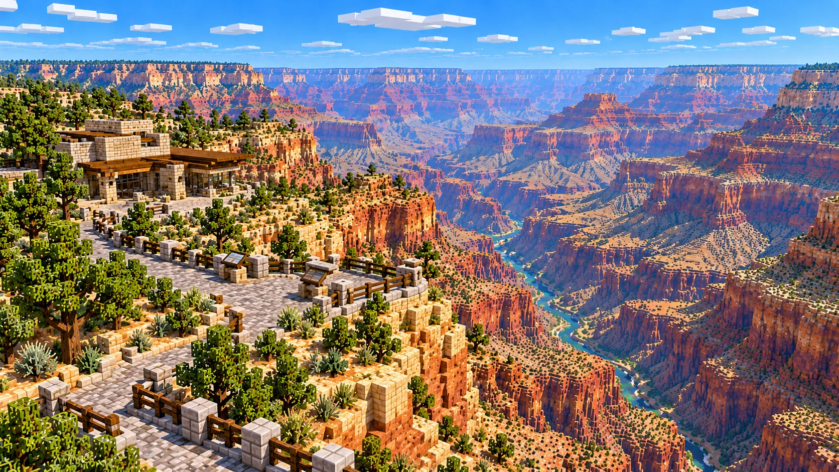
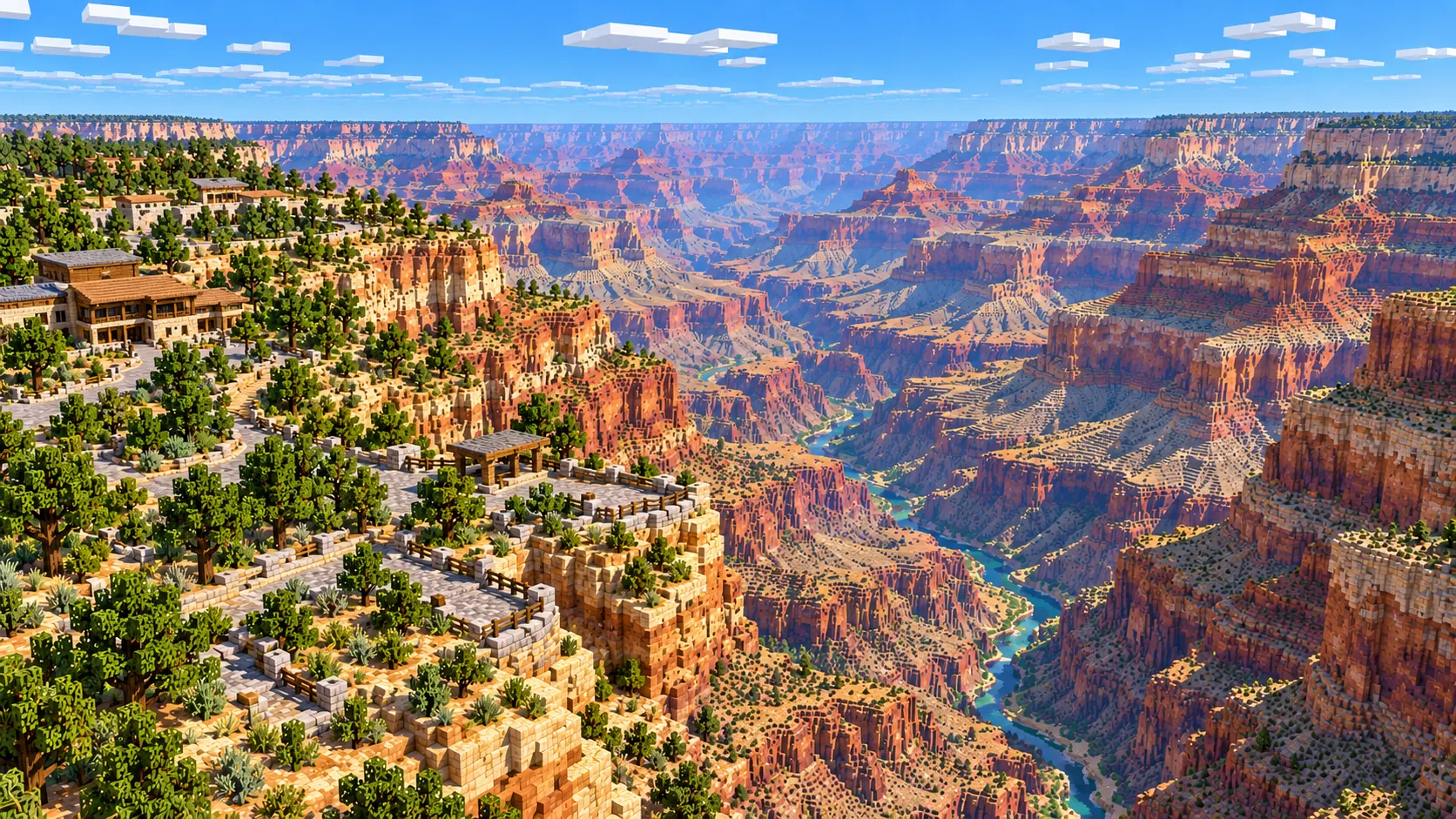
Illustration of the Grand Canyon South Rim in Minecraft blocks, with a stone lodge and a fenced overlook above layered cliffs and the Colorado River far below
Illustrations. Generated worlds follow OpenStreetMap data and differ in detail.
Starting area
South Rim: Grand Canyon Village to the Colorado River
Size
44.0 km²
Editions
Java & Bedrock
Download
Ready to play
Data
OpenStreetMap

01 / Overview

Overview: the Grand Canyon as a Minecraft world

The map is a rectangle of about 6.8 km east to west and 6.4 km north to south. Its west edge sits just past Hopi Point on Hermit Road, and its east edge just past Yaki Point and the South Kaibab Trailhead. The south edge runs through the pine forest below Grand Canyon Village and Market Plaza. The north edge is the Colorado River at Phantom Ranch, about 6.5 km in a straight line from El Tovar. The North Rim, roughly 16 km away across the canyon, is not in the world.

This is a terrain map first. The canyon floor at the river is about 1,450 m lower than the rim at Yaki Point, far more than the 384 blocks of height a Minecraft world allows. The generator therefore compresses the heights so the whole drop fits, while the ground plan stays at about one block per meter. One block of height stands for about 4 m, so the drop from Mather Point to the river is about 340 blocks instead of about 1,430 m. The rim sits around Y 280 to 300 and the river around Y -50. Roads, trails, buildings, parking lots and the river come from OpenStreetMap; the shape of the ground comes from elevation data.

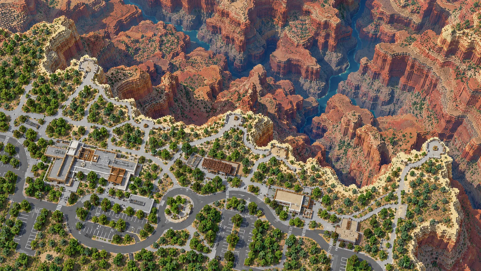
The two halves of the map play very differently. A strip along the south edge is the developed rim: the village loop roads, the lodges along the edge, the visitor center plaza behind Mather Point, and the Rim Trail threading between them. Everything north of the rim is canyon: steep walls, the broad Tonto Platform about two thirds of the way down, and the narrow inner gorge around the river. Two trails link the halves, the Bright Angel from the village and the South Kaibab from Yaki Point, and both are mapped from rim to river.

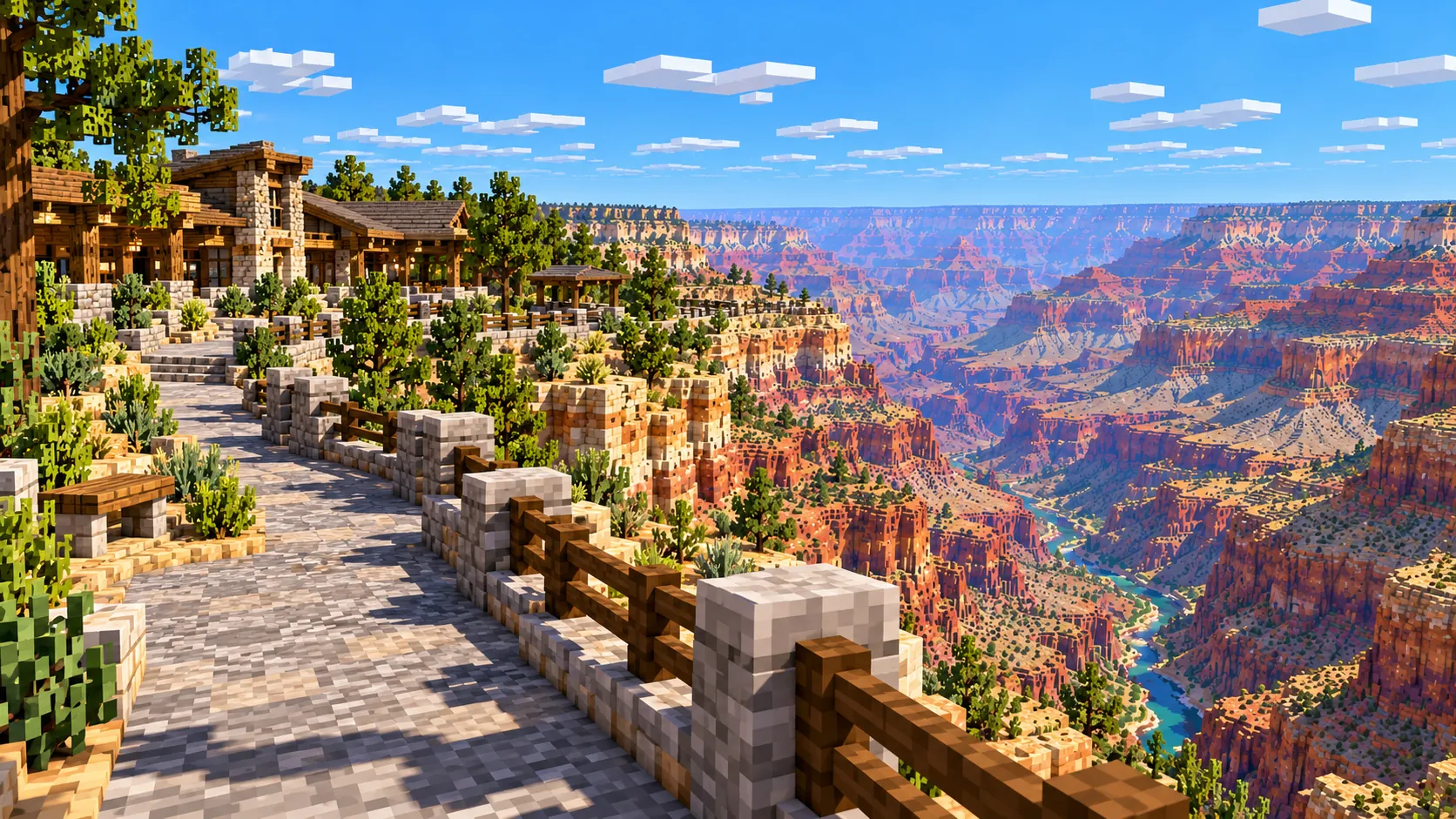
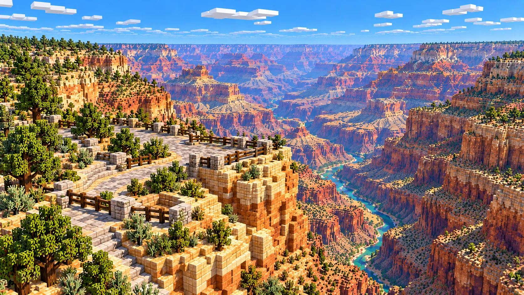
Illustration of a block-built overlook with a stone wall and wooden railing on a cliff edge, looking down a side canyon to the river
Illustrations. Generated worlds follow OpenStreetMap data and differ in detail.

02 / Inside the map

What's included in the Grand Canyon map

The recommended starting area covers Mather Point, Yavapai Point and the Yavapai Geology Museum, Grand Canyon Village with El Tovar, Hopi House and Bright Angel Lodge, Hopi Point, Yaki Point, the Bright Angel and South Kaibab trails, Havasupai Gardens, Plateau Point, the Black and Silver bridges and Phantom Ranch. Places marked as separate presets are outside it. Open them from the customize section below.

  • Starting area

    Mather Point and the visitor center

    The spawn point. Mather Point is a rocky spur at about 2,170 m, a 300 m walk from the visitor center plaza, and for many visitors it is their first view of the canyon. It is named for Stephen Mather, the first director of the National Park Service.

  • Starting area

    Yavapai Point and the Yavapai Geology Museum

    About 1 km northwest of Mather Point along the Rim Trail. The stone building on the point opened in 1928 as the Yavapai Observation Station, designed by Herbert Maier on a site picked by geologists. In the world it is a footprint on the cliff edge with a long view down to Phantom Ranch, nearly 5 km away.

  • Starting area

    Grand Canyon Village: El Tovar, Hopi House and the lodges

    The historic district packs El Tovar (opened in 1905), Mary Colter’s Hopi House, Lookout Studio, Kolb Studio and Bright Angel Lodge into about 500 m of rim. The log railway depot sits just below El Tovar. Buildings come out as footprints with flat roofs, so the timber and stone details are yours to add.

  • Starting area

    Bright Angel Trail, Havasupai Gardens and Plateau Point

    The trail leaves the rim next to Kolb Studio and zigzags down to Havasupai Gardens, the cottonwood oasis about 2.5 km north-northeast as the crow flies and 7.2 km (4.5 mi) on foot. From there a spur crosses the flat Tonto Platform to Plateau Point, which stands on the edge of the inner gorge above the river.

  • Starting area

    South Kaibab Trail, Yaki Point and O’Neill Butte

    The South Kaibab Trailhead is about 600 m south of Yaki Point, at the east edge of the map. The trail follows a ridge instead of a side canyon, past Ooh Aah Point, Cedar Ridge, O’Neill Butte and Skeleton Point, so for much of the middle section it runs along open ground with drops on both sides.

  • Starting area

    The Colorado River, the two bridges and Phantom Ranch

    The river crosses the top of the map. The Black Bridge, finished in 1928 and about 440 ft (134 m) long, carries the South Kaibab Trail across; the Silver Bridge, less than a kilometer downstream, carries the Bright Angel Trail. Phantom Ranch, the 1922 lodge designed by Mary Colter, sits on Bright Angel Creek just north of the river, right at the edge of the world.

Illustrations. Generated worlds follow OpenStreetMap data and differ in detail.

03 / Why this city

What makes the Grand Canyon special in Minecraft

Most generated maps are cities on nearly flat ground, where the elevation data hardly matters. Here it is the whole map. Standing on the railing at Mather Point you look down a stepped slope of cliffs, a wide bench and then a slot with the river in it, and every one of those shapes comes from the real terrain. The Tonto Platform, the broad bench that the Bright Angel Trail crosses to Plateau Point, is easy to pick out, and so are the buttes above it, like O’Neill Butte on the ridge north of Yaki Point.

The developed rim makes a good contrast. Grand Canyon Village is a small town: a loop of roads, parking lots, lodges, a rail line ending at the depot, and the Rim Trail running along the edge, all from OpenStreetMap. A world that is all canyon would be hard to orient in. Here the village gives you a base with roads, and the trails take you down from it.

Here is what the map does not do. The real canyon walls are bands of color: the cream Kaibab Limestone at the rim, the pale Coconino Sandstone cliff, the red Hermit and Supai layers, the red-stained Redwall cliff and the green-grey Bright Angel Shale slopes. The generator picks surface blocks by slope and land cover, so steep walls come out as grey stone, cobblestone and deepslate rather than red and buff stripes, and the illustrations on this page are brighter than the world.

The heights are compressed, so the walls are about a quarter as tall as they would be at true scale. There are no building interiors, and Hopi House, El Tovar and Phantom Ranch are plain shapes. What you get is the real layout of the rim and the real shape of the canyon under it, down to individual side canyons and buttes.
04 / Play

Best ways to play the Grand Canyon map

Challenge 01

Rim to river on the Bright Angel Trail

Start at Kolb Studio, follow the switchbacks down to Havasupai Gardens, take the spur out to Plateau Point and look down at the river. Then continue to the Silver Bridge and Phantom Ranch. That is about 6.5 km in a straight line and about 15 km on the trail.

Challenge 02

Repaint the canyon walls

The cliffs are grey in the generated world. Pick a side canyon below Yavapai Point and repaint its walls in bands, with white and orange terracotta, red sandstone and smooth sandstone, to match the real rock layers. A tall wall at this compression takes far fewer blocks than at true scale.

Challenge 03

A survival base on the Tonto Platform

Start in Survival at Havasupai Gardens, where the real oasis has water and trees, and build on the flat bench around it. The rim is a long climb above you and the river a steep descent below, so every trip for resources is an expedition.

Challenge 04

Rim tour for a server

Run a tour along the Rim Trail from Hopi Point east to Yaki Point, about 6.6 km in a straight line, with stops at Maricopa Point, the village, Yavapai Point and Mather Point. On a server, the village makes a natural spawn and the trailheads make good warp points.

05 / Download

Download and install

Download the South Rim: Grand Canyon Village to the Colorado River starting area as a ready-made world for Java or Bedrock Edition.

Java Edition

  1. UnzipExtract the ZIP to get a folder with level.dat inside.
  2. CopyMove the folder into .minecraft/saves.
  3. PlayOpen Minecraft Java Edition and choose Singleplayer.

Bedrock Edition

  1. OpenOn Windows, double-click the .mcworld file. On phones and tablets, open it with Minecraft.
  2. ImportMinecraft imports the world automatically.
  3. PlayFind the new world in your Worlds list and open it.

If the world does not show up

  • Java: check that level.dat sits directly inside the world folder, not one folder deeper.
  • Bedrock: if double-clicking does nothing, open Minecraft first and then open the .mcworld file again.
  • Open the world with the listed Minecraft version or a newer one.
  • Lower your render distance if a large city loads slowly at first.

Step-by-step help: Java import guide · Bedrock import guide

Grand Canyon mapSouth Rim: Grand Canyon Village to the Colorado River

  • Java Edition

    ZIP world folder

    • 230 MB
    • 44.0 km²
    • Java 1.21.4
  • Bedrock Edition

    .mcworld file

    • 105 MB
    • 44.0 km²
    • Bedrock 1.21

06 / Customize

Customize this Grand Canyon map

Each area opens the generator with the rectangle already drawn. Move it, resize it or change the mode before you generate.

South Rim: Grand Canyon Village to the Colorado River

44.0 km²

The area of this map: the South Rim from Hopi Point to Yaki Point, Grand Canyon Village, and the canyon below it down to the Colorado River and Phantom Ranch.

Open in generator

Hermit Road: Mohave Point to Hermits Rest

13.9 km²

West of the map along Hermit Road: Mohave Point, the Abyss, Pima Point and Hermits Rest, about 14 km² of rim and canyon wall with no village.

Open in generator

Desert View Watchtower & Lipan Point

9.2 km²

At the far east end of the South Rim, about 28 km east of the village in a straight line: the Desert View Watchtower, Navajo Point and Lipan Point, where the canyon turns and the river is visible below.

Open in generator

07 / Limits

What to expect from the map data

  • The map covers 44 km², from 36.049° to 36.107° N and 112.157° to 112.081° W. At about one block per meter horizontally the world is roughly 6,840 × 6,440 blocks.
  • Heights are compressed about 4 to 1 to fit Minecraft’s build limit, while distances across the ground stay at about 1 block per meter. Mather Point is at about Y 289, Plateau Point at about Y 44 and the river at the Black Bridge at about Y -51; the world uses the full height range up to Y 319.
  • Steep walls are generated as grey stone, cobblestone and deepslate, not in the colors of the real rock layers. Trees and ground cover follow land-cover data.
  • Trails, roads, buildings and the river come from OpenStreetMap. Building heights come from height and level tags where they exist; buildings without tags get a default height. Interiors, bridge cables and roof shapes are not generated.
  • OpenStreetMap is edited by volunteers, so coverage varies from street to street, and recent changes may be missing.

Map data © OpenStreetMap contributors, available under the Open Database License. Generated with the open-source Arnis project.

Questions before you generate

What does the Grand Canyon Minecraft map include?

The South Rim from Hopi Point to Yaki Point, Grand Canyon Village, Mather Point and Yavapai Point, and the canyon north of them down to the Colorado River, with the Bright Angel and South Kaibab trails, Havasupai Gardens, Plateau Point, the Black and Silver bridges and Phantom Ranch. The North Rim, Hermits Rest and Desert View are outside it.

Is the Grand Canyon map free?

No. It costs $6.99 or 700 points, paid once. You keep it: the Java and Bedrock versions stay in your account to download again, and you can open it in the in-browser player on this site.

Does the Grand Canyon map work with Minecraft Java Edition?

Yes. The Java download is a ZIP of about 240 MB, saved in Java 1.21.4. Unzip it so the world folder sits directly in .minecraft/saves, not inside a second folder, then open it from Singleplayer. Newer Java versions upgrade the world when they load it.

Is there a Bedrock version of the Grand Canyon map?

Yes. The Bedrock download is an .mcworld file of about 110 MB. Open it on Windows, Android or iOS and Minecraft imports the world. Consoles cannot import .mcworld files directly, and Mac has no Bedrock Edition, so Mac players should use the Java version.

Is the canyon real depth?

No. From the rim at Yaki Point to the river is about 1,450 m, and a Minecraft world has 384 blocks of height in total. The generator compresses heights about 4 to 1, so the drop from Mather Point to the river is about 340 blocks. Distances across the ground stay at about one block per meter, so the canyon looks wider and less steep than the real one.

What game mode does the world open in?

Creative, at midday, with the spawn point at Mather Point. Creative flight is the easy way to get down into the canyon the first time. Switch to Survival with the /gamemode command once you are in the world.

Can I see the North Rim?

No. The world ends just north of the Colorado River at Phantom Ranch. The North Rim is about 16 km from Grand Canyon Village, and a map that covered both rims would be well over the 50 km² limit of the generator.

Can I use the Grand Canyon map on a server?

Yes. Put the Java world folder next to your server jar and set level-name in server.properties to its folder name. For Bedrock Dedicated Server, extract the .mcworld into the worlds folder. Keep the OpenStreetMap attribution file that comes with the world.

More maps

Browse all city maps · City generator · Terrain generator