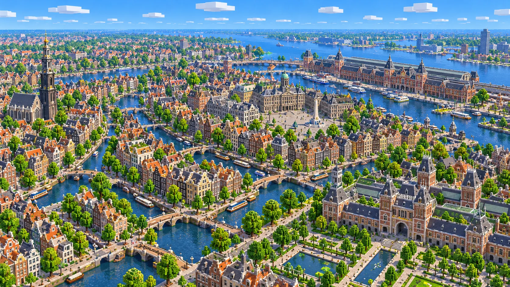
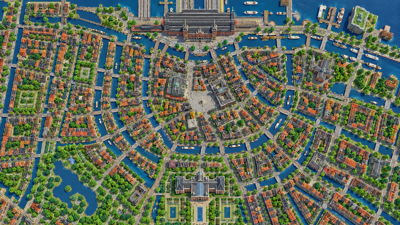
All four main canals of Amsterdam, the bridges over them and the old center they wrap around, in one Minecraft world. This Amsterdam Minecraft map covers about 12 km² built from OpenStreetMap data: the medieval core around Dam Square, the Singel, Herengracht, Keizersgracht and Prinsengracht in their full half-rings, the Jordaan, the Amstel, the Plantage with Artis zoo, and the Museumplein with the Rijksmuseum, the Van Gogh Museum and the Concertgebouw. To the north it crosses the IJ behind Centraal Station to the Eye Filmmuseum and A’DAM Tower. You spawn on Dam Square in front of the Royal Palace. Download it for Java or Bedrock, or open it in the in-browser player on this site.
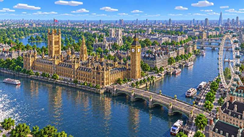
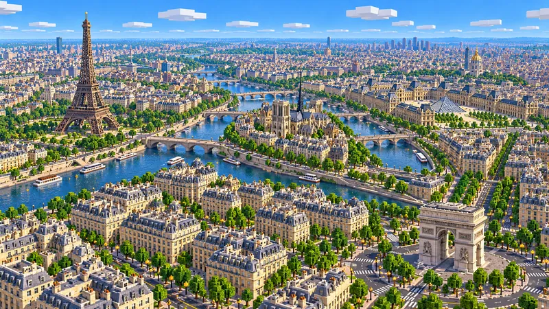
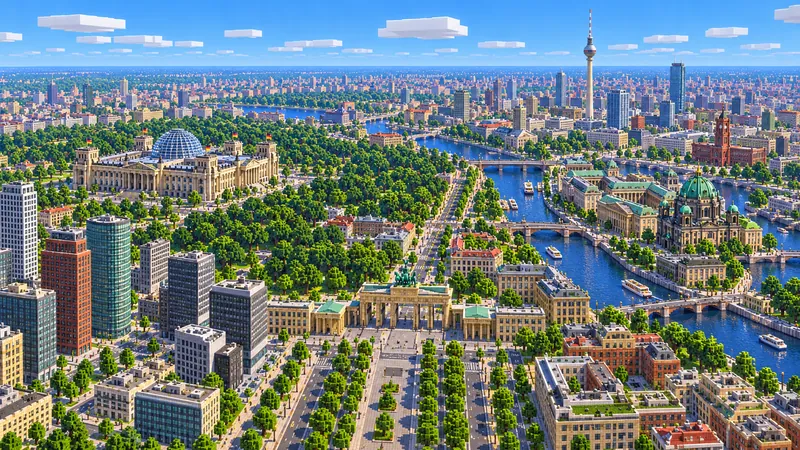
Illustrations. Generated worlds follow OpenStreetMap data and differ in detail.
Starting area
Amsterdam: the Canal Ring, Centraal Station & Museumplein
Size
12.1 km²
Editions
Java & Bedrock
Download
Ready to play
Data
OpenStreetMap
01 / Overview
Overview: the canal ring as a Minecraft world
Unlike most capitals, central Amsterdam fits in a single world. The canal ring that UNESCO listed in 2010 is the area inside the Singelgracht, the outermost canal, and this map takes all of it plus a margin on every side. The world runs about 3.4 km from west to east and 3.6 km from south to north, 12.1 km² in all. The west edge lies just past the Singelgracht, so the Jordaan is in and the Westerpark is not. The east edge runs just past Artis and the National Maritime Museum. The south edge takes in the Museumplein, the Concertgebouw, the Heineken Experience and the first blocks of De Pijp around the Albert Cuyp Market. To the north the map crosses the IJ and stops a couple of hundred meters into Amsterdam-Noord, just past the Eye Filmmuseum.
The plan is easy to read from the air. Dam Square sits on the site of the 13th-century dam across the Amstel that gave the city its name. Around it is the medieval core, and around that the four main canals, the Singel, Herengracht, Keizersgracht and Prinsengracht, run in concentric half-rings from the IJ in the north-west to the Amstel in the south-east. The Singel began as the city’s 15th-century moat; the other three were dug in the 17th century. Radial streets and smaller canals cut across the rings like spokes. West of the Prinsengracht the Jordaan breaks the pattern with a tighter grid of streets and canals that run at an angle.
The generator turns OpenStreetMap streets, canals, building footprints, parks and quays into blocks at about one block per meter. Amsterdam is one of the best-mapped cities in the world, down to individual canal houses, so the house fronts along the canals come through as a continuous wall of narrow footprints, with a bridge at almost every crossing. The ground is almost dead flat, a few meters either side of sea level, so the canals sit only a few blocks below the quays. From the spawn on Dam Square it is about 800 m north-east to Centraal Station, 600 m west to the Westerkerk, 1.3 km south-east to the Magere Brug and 1.6 km south to the Rijksmuseum.
Illustrations. Generated worlds follow OpenStreetMap data and differ in detail.
02 / Inside the map
What's included in the Amsterdam map
The recommended starting area covers Dam Square, the Royal Palace, the Nieuwe Kerk, the National Monument, Centraal Station, the IJ ferry docks, the Eye Filmmuseum, A’DAM Tower, the Oude Kerk, De Waag on Nieuwmarkt, the Schreierstoren, the Montelbaanstoren, the Zuiderkerk, the Rembrandt House, Waterlooplein, the Singel, Herengracht, Keizersgracht and Prinsengracht, the Westerkerk, the Anne Frank House, the Jordaan and the Noorderkerk, the Begijnhof, the Bloemenmarkt, the Munttoren, Rembrandtplein, the Magere Brug over the Amstel, Leidseplein, the Rijksmuseum, the Van Gogh Museum, the Stedelijk Museum, the Concertgebouw, the east end of the Vondelpark, the Heineken Experience, the Albert Cuyp Market, the Hortus Botanicus, Artis, NEMO and the National Maritime Museum. Places marked as separate presets are outside it. Open them from the customize section below.
Starting area
Dam Square, the Royal Palace and the Nieuwe Kerk
The spawn point. The Royal Palace on the west side of the square was built between 1648 and 1665 as the city hall and became a palace in 1808, under Louis Napoleon. The Nieuwe Kerk stands right next to it, and across the square is the National Monument, a 22 m stone column unveiled on 4 May 1956 in memory of the victims of World War II. Here the palace is a large flat-roofed block on its real footprint; the cupola on top is not generated.
Starting area
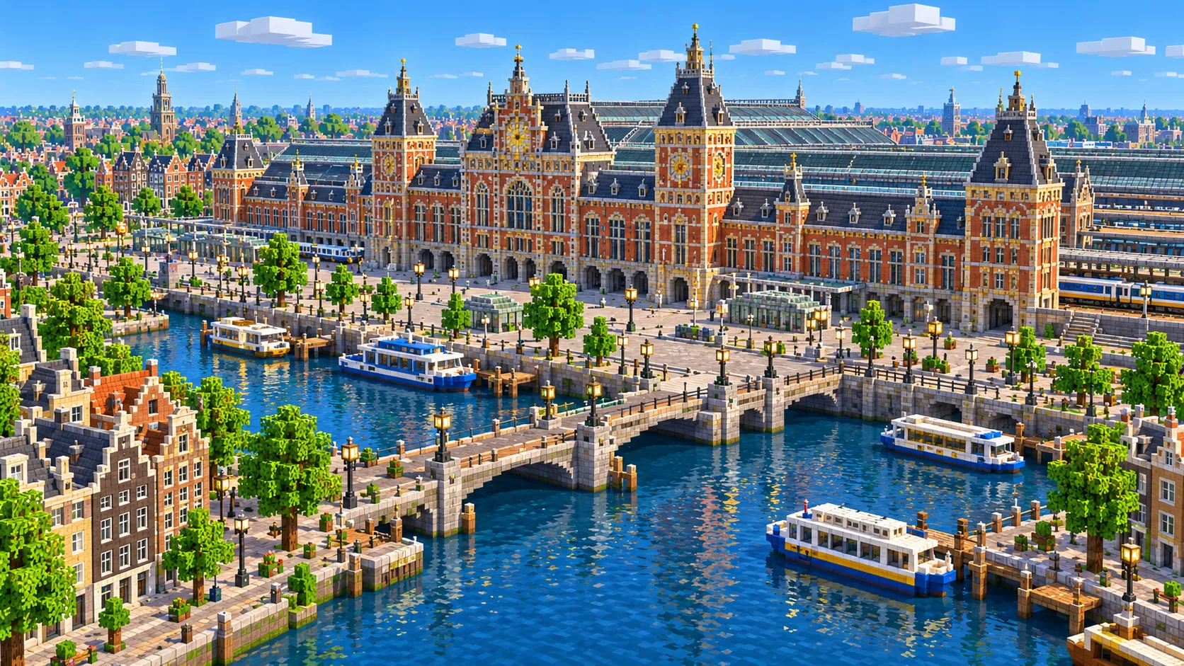
Centraal Station and the IJ
Pierre Cuypers, who also designed the Rijksmuseum, designed the station, which stands on artificial islands in the IJ and opened in 1889. In the world it is a long building on the waterfront with the platforms and tracks behind it. Behind the station the free GVB ferries cross the IJ to Amsterdam-Noord, and that bank is in the map too: the Eye Filmmuseum, opened in 2012, and A’DAM Tower, the former Shell offices, about 80 m tall. The IJ is a few hundred blocks wide here, a short boat ride.
Starting area
The canal ring
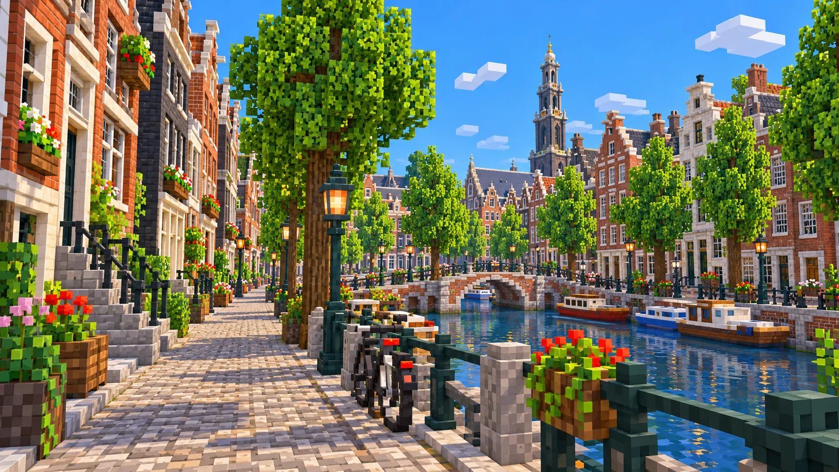
The Singel, Herengracht, Keizersgracht and Prinsengracht are all in the map from end to end, with every quay, side canal and bridge that OpenStreetMap records. The tall, narrow canal houses become a row of footprints, often only six to eight blocks wide, at their tagged heights. The Bloemenmarkt sits on the Singel near the Munttoren, the remains of a 15th-century city gate, and the Begijnhof, a closed courtyard of almshouses, is hidden behind a gate just off the Spui.
Starting area
The Westerkerk, the Anne Frank House and the Jordaan
The Westerkerk on the Prinsengracht opened in 1631, and its 85 m tower, finished in 1638, is the tallest church tower in the old city. The Anne Frank House is a few doors north, at Prinsengracht 263. On the map the church is its footprint at the height tagged in OpenStreetMap; the tower’s upper stages and the crown are not generated. West of the church lies the Jordaan, built in the 17th century for workers, with narrower streets, small canals and the Noorderkerk on the Noordermarkt.
Starting area
The old center, Nieuwmarkt and the Amstel
East of Dam Square is the oldest part of the city. The Oude Kerk, begun around 1300, is the oldest building in Amsterdam. Further east are De Waag, a 15th-century city gate on Nieuwmarkt, the Schreierstoren on the harbor front, the Montelbaanstoren on the Oudeschans, and the Zuiderkerk, completed in 1611. The Rembrandt House, where the painter lived from 1639 to 1658, stands on Jodenbreestraat by Waterlooplein. South of there, the Amstel flows into the city under the Magere Brug, a white wooden drawbridge.
Starting area
The Museumplein, the Plantage and De Pijp
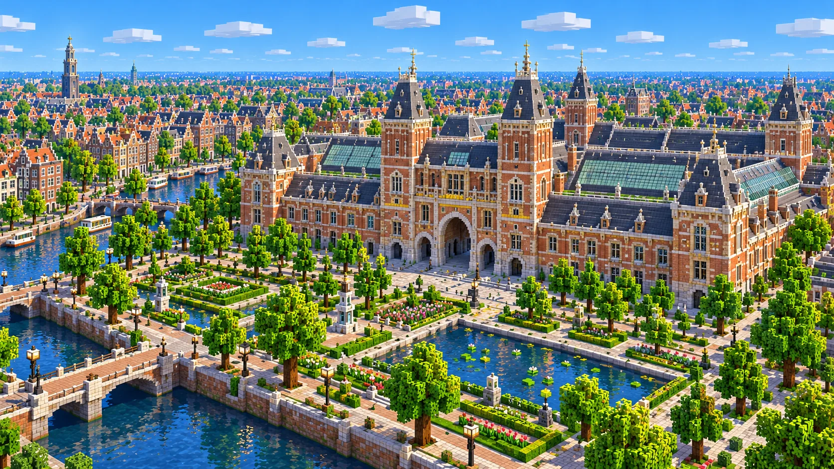
The Rijksmuseum opened in 1885. A public cycle path and walkway runs through the middle of the building, and it comes through as a gap in a large brick block. Behind it, the Museumplein lawn runs to the Concertgebouw (1888), with the Van Gogh Museum and the Stedelijk Museum on its west side. Only the eastern end of the Vondelpark is inside the map, about the first 600 m; the rest of the park lies to the west. To the east are the Heineken Experience in a former brewery, the Albert Cuyp Market, and in the Plantage the Hortus Botanicus (founded 1638) and Artis, the zoo founded in 1838.
Illustrations. Generated worlds follow OpenStreetMap data and differ in detail.
03 / Why this city
What makes Amsterdam special in Minecraft
Water is everywhere, and it is navigable. The canals in OpenStreetMap become real water channels, joined to each other, to the Amstel and to the IJ, so a boat can follow most of the routes a canal tour boat takes, as long as you deal with the low bridges. Bridges are generated as street decks over the water, and under some of the low ones a boat will not fit, but the network is all there: from the IJ behind the station you can reach the Prinsengracht, follow it around to the Amstel and come back out on the IJ.
Nothing in the old center towers over the rest. Most city maps on this site are dominated by a few skyscrapers; here almost nothing is much taller than a canal house, and the tallest structure, the 85 m Westertoren, is a slender church tower. Instead you get thousands of narrow buildings packed along the quays, each its own footprint. That makes it one of the best maps for players who like building in detail: every footprint is a plot ready for a stepped or bell-shaped gable, and a row of them along the Herengracht is an evening’s work, not a month’s.
The world is generated, not hand-built, so here is what is missing. Roofs are flat, so there are no gables, no hoisting beams and no church spires; towers keep their tagged height as a solid block. The Rijksmuseum, the station and the Royal Palace are their footprints at a single height. There are no houseboats, no bicycles, no trams and no interiors. Buildings without height tags in OpenStreetMap get a default height. What you get is the street and canal plan, which is the part that took four centuries and is hardest to build by hand.
04 / Play
Best ways to play the Amsterdam map
Challenge 01
Take a canal tour by boat
Put a boat in the water behind Centraal Station and go round the west end of the station into the Singel, then take the Brouwersgracht west to the Prinsengracht and follow it past the Westerkerk and the Anne Frank House down to the Amstel, about 4 km in all. Then go north on the Amstel past the Magere Brug, turn into the Zwanenburgwal by the Stopera, the combined city hall and opera house, and follow the Oudeschans past the Montelbaanstoren back out to the IJ. Low bridges are the hard part: where a boat will not fit, break a block out of the bridge deck, or break the boat and place it again on the far side.
Challenge 02
Give the Herengracht its gables
Pick a stretch of the Herengracht between two bridges, where the footprints are narrow and deep, and give each house a gable: stepped, neck or bell-shaped, in brick, dark oak and white trim, with a hoisting beam at the top. On a server, give each player one house; a stretch of 20 to 30 houses fills up quickly and looks like Amsterdam from the water.
Challenge 03
Ride from the station to the Rijksmuseum
The real route goes south along the Damrak, past Dam Square and down the Rokin to the Muntplein, then along the Vijzelstraat across the Herengracht, Keizersgracht and Prinsengracht and west along the Weteringschans to the Rijksmuseum, about 2.5 km. Build a bike lane in red concrete along it, and finish by riding through the passage under the museum, the way cyclists do in the real city.
Challenge 04
Rebuild the Westertoren
The Westerkerk tower is 85 m tall, so at one block per meter it needs 85 blocks above the street, far taller than anything else in the old center. Use the footprint as the base and build it in stages: a square brick tower, then stone and wooden stages getting narrower, and a blue imperial crown on top. From the top, the Prinsengracht and the Jordaan lie at your feet.
05 / Download
Download and install
Download the Amsterdam: the Canal Ring, Centraal Station & Museumplein starting area as a ready-made world for Java or Bedrock Edition.
Java Edition
UnzipExtract the ZIP to get a folder with level.dat inside.
CopyMove the folder into .minecraft/saves.
PlayOpen Minecraft Java Edition and choose Singleplayer.
Bedrock Edition
OpenOn Windows, double-click the .mcworld file. On phones and tablets, open it with Minecraft.
ImportMinecraft imports the world automatically.
PlayFind the new world in your Worlds list and open it.
If the world does not show up
Java: check that level.dat sits directly inside the world folder, not one folder deeper.
Bedrock: if double-clicking does nothing, open Minecraft first and then open the .mcworld file again.
Open the world with the listed Minecraft version or a newer one.
Lower your render distance if a large city loads slowly at first.
Amsterdam mapAmsterdam: the Canal Ring, Centraal Station & Museumplein
Java Edition
ZIP world folder
107 MB
12.1 km²
Java 1.21.4
Bedrock Edition
.mcworld file
59 MB
12.1 km²
Bedrock 1.21
06 / Customize
Customize this Amsterdam map
Each area opens the generator with the rectangle already drawn. Move it, resize it or change the mode before you generate.
Amsterdam: Canal Ring, Centraal Station & Museumplein
12.1 km²
The area of this map: the whole canal ring and the old center, Centraal Station and the IJ with a strip of Amsterdam-Noord, the Jordaan, the Plantage and the Museumplein, about 12 km².
East of the canal ring: the National Maritime Museum, the Eastern Islands with De Gooyer, an 18th-century corn windmill on the Nieuwe Vaart, Java Island, KNSM Island and Borneo-Sporenburg, about 8.3 km².
About 12 km north-west of Dam Square: the Zaanse Schans, a row of historic wooden windmills and green-painted houses along the river Zaan, about 4 km². The mills are footprints, so the sails are yours to build.
The map covers about 12.1 km², from 52.354° to 52.386° N and 4.872° to 4.922° E. At about one block per meter the world is about 3,400 × 3,560 blocks.
Terrain comes from elevation data. Central Amsterdam is close to sea level and almost flat, so the whole world sits within a few blocks of the water level in the canals.
Building heights come from the height and building:levels tags in OpenStreetMap; buildings without a tag get a default height. Roofs are flat, and gables, spires, the palace cupola and all interiors are not generated.
The Westerpark, most of the Vondelpark, Amsterdam-Noord beyond the Eye and A’DAM Tower, the Eastern Docklands, the Olympic Stadium and the Zaanse Schans are outside the map. The docklands and the Zaanse Schans have presets of their own.
OpenStreetMap is edited by volunteers, so coverage varies from street to street, and recent changes may be missing.
About 12 km² of central Amsterdam: Dam Square with the Royal Palace, Centraal Station and the IJ, the whole canal ring with the Singel, Herengracht, Keizersgracht and Prinsengracht, the Westerkerk and the Anne Frank House, the Jordaan, the old center around the Oude Kerk and Nieuwmarkt, the Amstel with the Magere Brug, the Plantage with Artis, and the Museumplein with the Rijksmuseum, the Van Gogh Museum and the Concertgebouw.
Is the Amsterdam map free?
No. It costs $4.99 or 500 points, paid once. You keep it: the Java and Bedrock versions stay in your account to download again, and you can open it in the in-browser player on this site.
Can I sail through the canals?
Yes. The canals are real water and connect to each other, the Amstel and the IJ, so you can boat around the canal ring. Some bridges sit too low for a boat to pass under; break a block out of the bridge deck, or break the boat and place it again on the far side.
Does the Amsterdam map work with Minecraft Java Edition?
Yes. The Java download is a ZIP of about 113 MB, saved in Java 1.21.4. Unzip it so the world folder sits directly in .minecraft/saves, not inside a second folder, then open it from Singleplayer. Newer Java versions upgrade the world when they load it.
Is there a Bedrock version of the Amsterdam map?
Yes. The Bedrock download is an .mcworld file of about 62 MB. Open it on Windows, Android or iOS and Minecraft imports the world. Consoles cannot import .mcworld files directly, and Mac has no Bedrock Edition, so Mac players should use the Java version.
Are the windmills in the map?
Not in this one. There are no windmills inside the canal ring; the nearest are just outside it, like De Gooyer to the east and De Otter, just past the western edge. The Eastern Docklands preset includes De Gooyer, and the Zaanse Schans preset generates the best-known group of mills, about 12 km north-west of Dam Square. In both, the mills come out as footprints without sails.
Can I use the Amsterdam map on a server?
Yes. Put the Java world folder next to your server jar and set level-name in server.properties to its folder name. For Bedrock Dedicated Server, rename the .mcworld to .zip, extract it into its own folder inside worlds and set level-name to that folder’s name. Keep the OpenStreetMap attribution file that comes with the world.